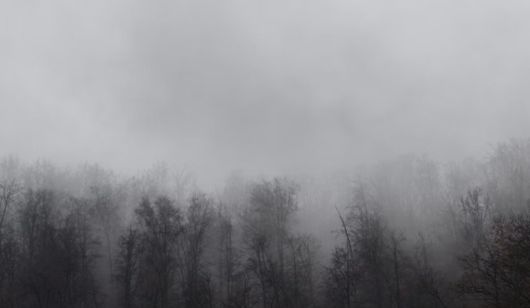
Dense morning fog smothered Washington, D.C., on Thursday, dropping visibility to around a quarter mile and keeping temperatures stuck in the mid 40s. The soupy start is turning bridges, river roads and low lying neighborhoods into slow motion obstacle courses for commuters.
Fog Advisory And Safety
A Dense Fog Advisory is in effect until 10 a.m. EST, with visibility down to one quarter mile or less. According to NWS Baltimore/Washington, the low visibility could make driving hazardous, so use low beam headlights, slow down, and leave extra stopping distance. It is also a good idea to check transit apps before heading out.
Today: Timing, Temps And Evening Storm Risk
Fog is expected to linger through mid morning with patchy drizzle, followed by mostly cloudy skies and a high near 63°F this afternoon. Scattered showers are possible late in the day, and an isolated thunderstorm or two is possible this evening (roughly 7–10 p.m.). Low clouds and patchy fog are forecast to redevelop overnight with a low near 46°F.
Weekend Outlook And Next Week
Friday looks cooler with patchy morning fog and a high around 56°F, while Saturday jumps into the 70s (near 75°F) with a chance of afternoon showers and likely rain late Saturday night. Sunday is expected to be mostly cloudy with highs near 69°F and lingering shower chances. The forecast keeps temperatures unseasonably warm into next week before a strong cold front may arrive late Wednesday or Thursday, as outlined by NWS Baltimore/Washington.
Quick Tips
Plan to leave extra time for morning travel, keep your headlights on low beam, and give buses and trucks extra space. Bridges and river crossings are likely to be the toughest spots for visibility. If you have early flights or plans on the water, check airline and marine status, since the fog this morning is the main travel risk even though winds are light.


