Snow is gearing up for a return to Colorado's high country this week, and parts of the northern ranges could be in for a serious refresh. Forecasters are calling for up to 10 inches in spots, with strong gusts and wet snow expected to turn Tuesday to Wednesday mountain travel into a white-knuckle affair.
Per the National Weather Service Denver/Boulder office, a winter weather advisory is in effect from 6 p.m. Tuesday to 9 p.m. Wednesday for Boulder, Clear Creek, Gilpin, Grand, Jackson, Larimer, and Summit counties. The advisory calls for 2 to 10 inches of snow across the area, with winds gusting up to about 50 mph, and warns that "travel could be very difficult" during commute windows.
Spot reports and forecaster guidance compiled by The Denver Post show a wide spread of observed and expected totals: roughly 14 inches reported at Mount Zirkel, about 8 inches on Cameron Pass (with up to 10 possible), 7 inches on Berthoud Pass (up to 9 possible), and roughly 4 inches at Vail Pass, among other readings. Forecasters note that amounts ramp up quickly with elevation, so what you see in the valleys can significantly underplay what is piling up on the high peaks.
Where the heaviest snow will fall
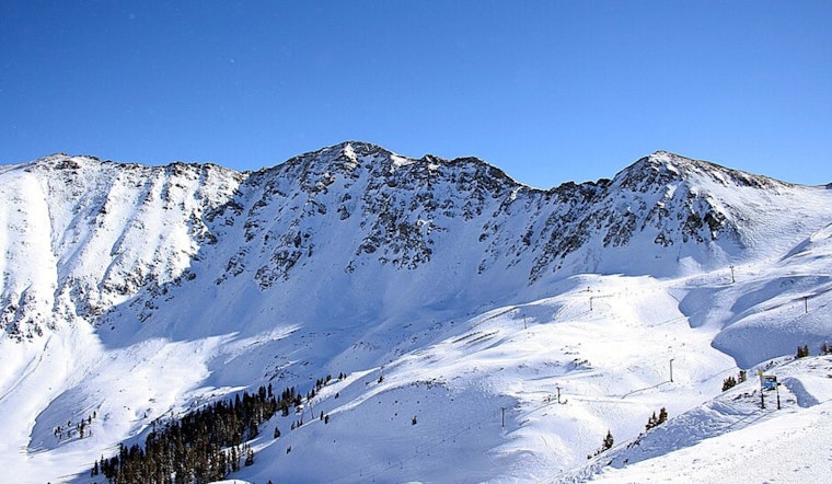
Forecasters say the highest summits, especially in the Park Range, are the best bet for the biggest dump, with some peaks potentially stacking up more than a foot of new snow. According to the National Weather Service Denver/Boulder, the largest totals are expected above roughly 9,000 to 10,000 feet, while lower passes and valley roads should see lighter amounts that can still turn slick in a hurry.
Travel and preparation
The Colorado Department of Transportation is urging drivers to come prepared and think twice before heading into the storm. In a CDOT travel alert, the agency recommended packing traction devices, building in extra time, and avoiding nonessential travel on mountain corridors while the system moves through. Officials also point motorists to COtrip for live road conditions, and stress the importance of obeying chain and traction laws when posted and never driving around a closure gate.
If you have plans in the high country this week, plan for delays, keep an eye on the forecast, and check road reports before you go. Officials emphasize that conditions can change quickly in these late-season storms, so monitoring official updates right up until departure is key.


