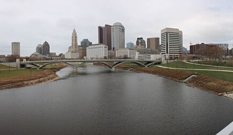
Columbus rolled into Tuesday under mostly cloudy skies and low 60s, but the quiet start is not sticking around. Highs are expected to reach near 81°F this afternoon as southwest winds ramp up. A late-afternoon shower or isolated thunderstorm could pop up, with more widespread storms likely tonight into Wednesday. You might want to secure loose outdoor furniture now and plan on a blustery ride home.
Afternoon Winds Pick Up
Southwest winds are set to strengthen this afternoon, generally 13–21 mph with gusts around 30–35 mph in parts of the metro. The strongest gusts are expected near and north of the I-71 corridor as afternoon mixing pulls stronger winds down to the surface. Count on a gusty afternoon commute and tie down outdoor furniture and awnings if you can.
Late Night Into Wednesday: Storm Rounds
Showers and thunderstorms become more likely tonight, with a chance of storms before 1 a.m. and a window of more widespread storms between roughly 1–4 a.m. New rainfall totals of around a quarter to a half-inch are possible overnight. Wednesday stays unsettled, with showers and thunderstorms likely and highs in the low 70s before temperatures slide during the afternoon. According to the National Weather Service in Wilmington, multiple rounds of showers and storms could continue through the week with locally heavy rain and brief flooding possible in spots, particularly across the northwest part of the forecast area.
Travel And Planning
Drivers should be ready for sudden downpours and gusty crosswinds that can cut visibility and make bridges and open highways tricky for larger vehicles. If you are flying today, check your flight status with John Glenn Columbus International Airport before heading to the terminal. If you need to be outdoors this afternoon and evening, secure lightweight objects, steer clear of loose tarps or temporary canopies, and budget extra time for travel.
What To Expect This Week
The pattern stays active through the weekend, with additional chances for showers and thunderstorms and highs mostly in the 70s and low 80s before a cooler stretch settles in early next week. Because several systems could pass through in close succession, neighborhoods prone to poor drainage should watch for brief, localized ponding.


