Baltimore is getting a two-for-one weather special this weekend, starting with almost July-like heat and ending with a Sunday soaker that knocks temperatures back to reality.
On Saturday, April 4, 2026, the city wakes up to unseasonably warm air, with most thermometers climbing into the mid 80s this afternoon and only a slight chance of a passing shower. Highs near 84°F will be well above normal for early April, so if you are spending time outside, bring water, find shade during the peak afternoon hours, and be ready for some sticky spring heat. Later tonight, the pattern shifts, setting the stage for steady rain on Sunday and a sharp cooldown rolling into Monday. Boaters should pay close attention to strengthening southerly winds this afternoon.
Afternoon Heat And A Small Chance Of Storms
Expect mostly sunny skies with south winds around 1 to 9 mph and only a slight, roughly 20 percent chance of a brief shower or isolated thunderstorm late this afternoon. Any rainfall that does develop should be light, generally under a tenth of an inch. According to the National Weather Service Baltimore/Washington, today’s readings are running near record levels for the date. If you will be outside, plan for shade during the warmest part of the day and keep an eye out for lightning if a storm pops up.
Sunday Front Brings Rain And Cooler Air
A strong cold front moves in on Sunday and is expected to bring a period of steady rain along with temperatures that fall throughout the day. Most spots can expect roughly a quarter to a half inch of rain, with highs near 73°F before readings slide back into the 60s. The front could trigger a few thunderstorms, especially along and southeast of I-95, and wind gusts may reach into the low 20s mph during the heaviest rain. Behind the front, skies are clear from northwest to southeast by Sunday evening. A much cooler Monday follows, with highs in the low 60s and nighttime lows dipping into the 30s and 40s in some neighborhoods.
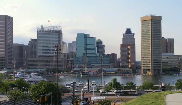
Boaters And Harbor Users: Advisory In Effect
A Small Craft Advisory is in place for parts of the Chesapeake from late this afternoon through Sunday morning, so operators of smaller vessels should consider staying in port and securing any loose gear. Tide anomalies will run slightly elevated in the southerly flow, but no coastal flooding is expected at this time. For background on the warmup and previous forecasts, see our heats up like June coverage.
What To Do Now
Front-load your weekend plans. Get outdoor errands and activities done today and keep Sunday events indoors, or at least have a solid rain plan ready. Check for forecast updates before you head out, and if you will be on the water, monitor conditions closely, since winds can pick up quickly as the front approaches.


