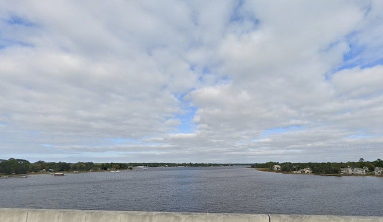
Cloudy skies and a stiff breeze are greeting Jacksonville this morning, with temperatures hovering near 71°F and northeast winds already starting to crank up along the coast. Highs today will top out around 75°F on Monday, April 27, 2026, but the wind will keep the shoreline feeling cooler and the surf on the rough side. A Rip Current Statement is in effect for Northeast Florida beaches from 8 a.m. through late tonight, making swimming hazardous near most beach accesses. If you were banking on a laid-back beach day, you may want to shift plans inland or stick close to lifeguarded areas.
Afternoon Winds Pick Up
Northeast winds will run about 13 to 16 mph this afternoon with frequent gusts into the 20s, and even stronger bursts right along the immediate shoreline. Small Craft Advisories are posted for the coastal waters this morning into tonight, so kayaks, stand-up paddleboards and small boats should expect choppy, unsettled seas. According to the National Weather Service, the highest gusts are expected early in the onshore wind surge near the beaches.
Rip Current Risk at Beaches
The beaches are under a high rip current risk from 8 a.m. through late tonight, which means strong longshore currents and sudden pulls offshore are likely. Lifeguards are urging swimmers to stay in flagged, supervised zones and to avoid venturing out alone. If you do get caught in a rip current, the advice remains the same: float, stay calm, signal for help, and avoid trying to swim straight back to shore against the current. For local guidance and lifeguard contacts, visit Jacksonville Beach.
What to Expect Inland and This Week
Inland neighborhoods will warm up faster, with highs near 82°F Tuesday and climbing into the upper 80s by Wednesday as a more southerly flow returns. The next frontal system will bump up rain and thunderstorm chances on Thursday and again over the weekend, although forecasters say the exact timing and placement are still a bit uncertain. For background on the recent stretch of onshore winds and coastal hazards, check out our earlier report on dry winds and rip currents.
Plan Ahead
If you are heading to the water today, swim near a lifeguard, check the beach flags before going in, and avoid small crafts in exposed coastal waters. If you are caught in a rip current, float, then swim parallel to shore until you are out of the pull. Keep an eye on updates through the day and be ready to move outdoor plans inland if winds or surf ramp up more than expected.


