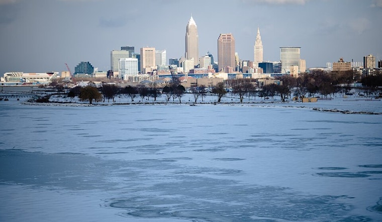
Cleveland rolled into Tuesday under mostly cloudy skies, temperatures hovering near 30°F and a few light lake effect snow showers hanging around through midmorning. Any accumulation should stay minor and confined to grassy spots and higher terrain, but untreated ramps and bridges could be slick for the commute. Northwest winds will make it feel colder than the thermometer shows, with gusts at times into the mid 20s mph.
What To Expect Today
Snow showers are expected to wind down by late morning, giving way to partly sunny skies and a high near 37°F. North winds of 7 to 16 mph, with gusts around 25 to 26 mph, will keep the afternoon feeling raw, especially along the lakefront. Tonight looks quieter and colder, with lows dipping into the upper 20s.
Boaters And Lake Travelers
The National Weather Service in Cleveland has a Small Craft Advisory in effect until 1 p.m. EDT for nearshore Lake Erie zones LEZ143 to LEZ149, calling for waves of roughly 3 to 6 feet and gusty northwest winds that make small boat operations hazardous. Mariners and ferry riders should hold off on departures or seek safe harbor until conditions settle down, and shoreline visitors should give the breaking surf plenty of space. For the latest marine details, see NWS Cleveland.
Midweek Warm Up
High pressure builds in Wednesday and Thursday, sending highs into the upper 50s on Wednesday and close to 70°F on Thursday, with a chance of afternoon showers returning Friday. In short, it is chilly with spotty snow this morning, then much warmer afternoons later in the week, so plan outdoor activities accordingly. This story updates the earlier forecast with the latest advisory timing and morning conditions.


.jpg)