San Jose woke up under a solid gray lid today, with temperatures sitting near 55°F at Mineta San José International Airport before sunrise. That low cloud deck is expected to park over much of the South Bay for most of the day, and any brief peeks of sunshine will be just that, brief. Forecasters are calling for a cool high around 64°F this afternoon and a dip to about 49°F overnight, so anyone with late plans will want an extra layer.
Slight Chance of Light Rain Tonight
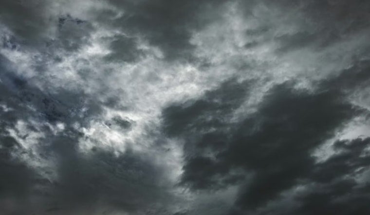
A weak system is trying to nose in from the coast, giving San Jose about a 20% chance of light rain from late Saturday afternoon into the evening. Most neighborhoods will only see some drizzle or a few hundredths of an inch at most. Forecasts keep new rainfall totals under one-tenth of an inch in the valley, with coastal hills possibly picking up a bit more. Higher terrain could see 0.1 to 0.2 inches, and in a more generous scenario, up to about 0.5 inch. The better window for showers opens after roughly 5 p.m., with winds turning from the southwest to the west at 2 to 9 mph, according to the NWS San Francisco.
Cool Weekend Then Warmer Next Week
Temperatures stay on the cool side of normal through the weekend. Inland spots are expected to top out in the upper 50s to mid-60s today, then warm slightly to around 67°F tomorrow. A slow warming trend kicks in next Monday, with inland areas edging into the upper 60s to mid-70s by the middle of the week and potentially reaching the upper 70s by Friday.
Fog and Morning Commutes
Patchy fog could creep into low-lying neighborhoods and along bayside corridors early tomorrow and again next Monday morning, trimming visibility for the earliest drivers. If you are on the road before about 8 AM, it is worth giving yourself a little extra time and watching for slick pavement where drizzle has settled in. Overnight lows in the mid-40s to upper-40s will make for a chilly start for pre-dawn workers and early commuters.
Hills and Coastal Ranges
Conditions get a bit rowdier up high. Forecasters say the hills and exposed ridgelines could see gusts peaking around 25 to 35 mph during the afternoon and evening. Orographic lift over the higher terrain may wring out slightly higher rainfall totals in the Santa Cruz Mountains, East Bay Hills and the Santa Lucia Range, so those areas are more likely to see measurable rain. Residents with balconies or rooftops in wind-prone spots should secure loose outdoor items and keep an eye on local updates, according to NWS San Francisco.


