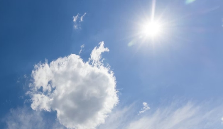
Downtown Los Angeles gets a quick shot of summer on Sunday, April 5, 2026, with a bright, dry afternoon topping out near 82°F after a cool start in the mid 50s. Skies stay mostly clear, winds stay light out of the west southwest, and inland neighborhoods soak up the strongest warming while the coast hangs back in noticeably milder territory.
Afternoon Heat And The Drive Home
Central and inland parts of the city are set to feel the low 80s most sharply, while coastal spots linger in the upper 60s to low 70s. Expect light west southwest breezes around 0 to 10 mph, with a few gusts nudging near 10 mph in the mid-afternoon. That means hot but dry conditions for the evening commute. If you are out in the midday sun or doing outdoor work, water and sunscreen are your friends.
Nighttime Fog Risk
After 11 p.m. Sunday into early Monday, April 6, 2026, patchy fog creeps back into the picture, especially near the Los Angeles and Long Beach airport corridors and coastal ramps, where lows dip into the upper 50s. The marine layer looks shallow and spotty, but it could knock down visibility for the earliest Monday drivers. Most areas are expected to shake it off by midmorning, setting up mostly sunny skies for Monday.
Looking Ahead
Monday and Tuesday bring a modest cool down, with highs sliding into the mid 70s before a ridge builds on Wednesday. The bigger story sits toward the end of the week. Rain is most likely sometime between Thursday, April 9, and Saturday, April 11, 2026. The National Weather Service Los Angeles/Oxnard currently pegs the chance of rain at about 80% over that three-day window, while noting that any given six-hour stretch has a much lower probability.
Most model ensembles cluster around roughly a half inch of total rain, with a few outliers pushing close to an inch, so timing and totals are still a bit of a moving target. Forecasters urge checking updated outlooks as the week rolls along.
Boaters And Mariners
On the water, conditions turn less friendly. Small Craft Advisories are expected to kick in Monday and carry into midweek for waters south and west of Point Conception, with a chance of stronger gale force gusts later in the period. Nonessential offshore trips are better saved for a calmer stretch while you keep an eye on official marine products as the forecast evolves.
We recently covered a quick fog and drizzle episode at the end of March, and this update shows a warmer start to the week paired with a growing shot at late-week rain. See our March 31 piece on the foggy, drizzly wake-up for background.


