Milwaukee is getting the full sampler this weekend: a chilly, foggy start, some afternoon sunshine, then a fast flip to thunderstorms and a springlike surge near 70 degrees. Early Saturday, April 11, started clear but with patchy fog and temperatures in the mid-30s under very light winds. From there, the forecast jumps to a mostly sunny afternoon with a slight chance of showers, then a much better shot at showers and thunderstorms Saturday night into Sunday. Highs climb from around 50 degrees Saturday to near 70 on Sunday, as southerly winds turn gusty heading into early next week.
Morning Fog, Mostly Sunny Afternoon
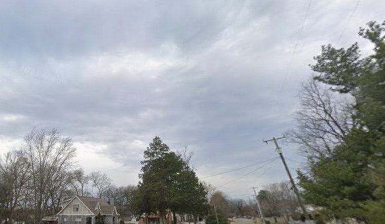
Patchy fog should cling to low-lying spots through sunrise, but high pressure over Lake Michigan will help clear things out, leading to mostly sunny skies by midday. The high is expected to reach about 50 degrees, with southeast winds generally in the 0 to 10 mph range. After roughly 3 p.m. there is a slight chance of rain showers, although many neighborhoods may stay dry through the afternoon. This setup comes from the latest guidance from the National Weather Service Milwaukee/Sullivan.
Evening Showers And Thunderstorms Likely
Showers and thunderstorms become more likely Saturday night (April 11 to 12). Lows will sit near 41 degrees early, then temperatures rise into the mid-40s overnight as warmer air moves in. Southeast winds will increase to about 5 to 15 mph with gusts up to around 30 mph, and initial rainfall totals are expected to run from one tenth to one quarter of an inch. A few rumbles of thunder and locally heavier downpours could briefly knock down visibility and make roads slick during the overnight hours.
Warm Sunday And Gusty Start To Next Week
Sunday is the headline act for warmth. Expect mostly cloudy skies with periods of showers and thunderstorms and a high near 70 degrees, along with south winds of about 10 to 15 mph and gusts to around 30 mph. Additional rounds of rain, with some spots picking up another quarter inch or more, are possible Sunday night into Monday. Forecasters point to an active pattern that could bring stronger or even severe storms by Monday and Tuesday, so it is worth keeping an eye on updates if you have outdoor plans.
Plan Ahead
Drivers should be ready for slick pavement and patchy reduced visibility late Saturday night into Sunday morning. Gusts up to 30 mph may be a handful for high-profile vehicles along the lakefront and on bridges. Boaters will want to keep close tabs on marine forecasts for possible gale conditions on Lake Michigan later in the weekend, and organizers with outdoor events should think through backup options. This incoming wet, windy stretch was previewed earlier this week, so see Hoodline's April 9 warmer weekend on deck update for background.


