Charlotte rolled into Sunday under a low gray ceiling, waking up to muggy air near 64°F, thick humidity and pockets of patchy fog. Showers are sliding in this morning and look poised to hang around through the afternoon, with highs topping out near 73°F. A southwest breeze around 13 mph, with gusts pushing 23 mph, will make things feel extra blustery, and brief heavy downpours could easily drag out those late‑morning and midday drives.
Morning Fog And Downpours
Rain chances stay sky high through late morning, with showers likely before 10 a.m. and scattered to numerous showers and a few embedded thunderstorms expected through the afternoon. The odds of precipitation sit near 90%, and most spots can plan on roughly a quarter to a half inch of rain, with locally higher totals closer to the foothills and escarpment. Heavier bursts of rain and low‑visibility fog may slow travel, according to the National Weather Service.
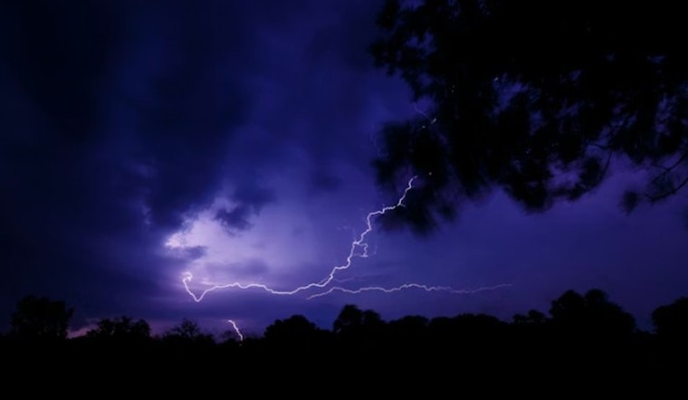
Afternoon Gusts And Thunderstorms
This afternoon, southwest winds near 13 mph with gusts up to about 23 mph remain on tap, and a stronger line of showers could pop some brief, gusty winds, although the overall severe weather threat stays low. Behind the cold front, higher elevations may feel stronger gusts, while the front itself is expected to push east by early evening, allowing winds to turn out of the northwest overnight. The latest discussion from the National Weather Service Greenville‑Spartanburg also flags the chance for locally heavier downpours near the Blue Ridge Escarpment.
Drier Week With A Couple Caveats
High pressure builds over the region Monday into midweek, setting up a quieter stretch. Mostly sunny skies are expected Monday with a high near 68°F, warming to around 70°F on Tuesday, while overnight lows dip into the 40s. The risk of a freeze continues to drop across the Piedmont, although patchy frost may still show up in higher terrain. By midweek, afternoon relative humidity is forecast to fall below 30%, which bumps up localized fire weather concerns. Check the latest timing and updates from the National Weather Service.


