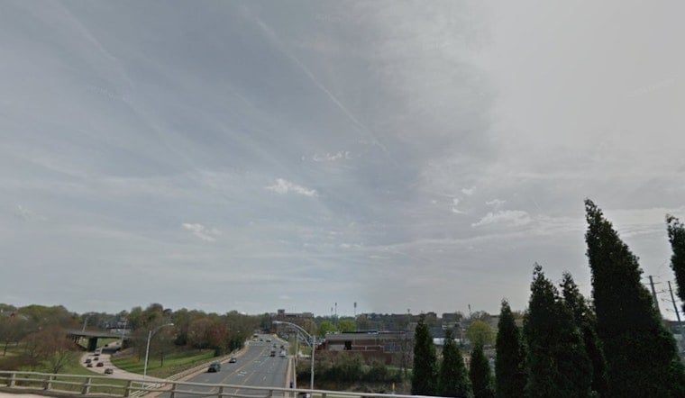
Charlotte woke up to low clouds and soupy air this morning, with temperatures near 63°F at Charlotte Douglas International Airport and humidity parked in the mid-90s. Patchy fog is likely to linger in spots through the morning, and a few light showers could sneak through before mid-afternoon. Most neighborhoods should still see clouds break for a mostly sunny finish and a high near 75°F. North-northeast breezes will start off light, then pick up into the 5-10 mph range with gusts near 20 mph by the afternoon.
Foggy Morning, Then Clearing
Skies will clear gradually from west to east, so areas that brighten up early could briefly see dense patchy fog and reduced visibility on side streets and in low-lying neighborhoods. If you are heading out early, build in a little extra time and flip on the headlights whenever visibility drops.
Any rain that does fall today is expected to stay on the light side, generally under a tenth of an inch, which means standing water and flooding issues are not expected.
Storms Return Midweek
A series of systems will crank up rain chances later in the week, with the best shot at showers and thunderstorms late Tuesday night into Wednesday, April 29, 2026. The National Weather Service office in Greenville-Spartanburg notes that timing and any severe potential are still uncertain, so plan for brief heavy downpours and localized ponding on Wednesday. If you have outdoor plans later in the week, keep an eye on forecasts from Tuesday into Wednesday in case storms force a change of plans.
Plan Ahead
Layer up for the cool, damp start with a light jacket, and maybe stash an umbrella if you will be out around midday, since a stray shower is still on the table before skies clear. Travel through early next week should be fairly routine, but be ready for some gusty periods and check for updates if you will be on the move Tuesday night into Wednesday.
Context
This quick mix of fog, sun and late-week rain comes on the heels of a short warm, dry spell earlier in the week that helped set the stage for burn restrictions. For background on the recent warmth and burn-ban conditions, see our earlier reporting on the Queen City burn ban.


