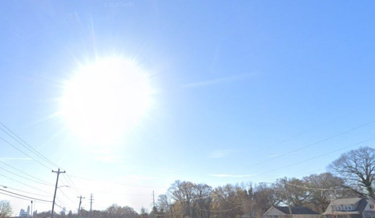
By 5:35 a.m. EDT on Thursday, April 23, 2026, Charlotte was waking up under clear skies and a mild 54°F at Charlotte Douglas International Airport. It will not stay mild for long. Temperatures are expected to jump quickly, topping out near 86°F this afternoon, with another hot day already on deck for Friday.
Afternoon Heat And Fire Risk
Afternoons are set to turn very warm, and the relative humidity is projected to sink into the low 20s. That dry air, paired with ongoing dry fuels, is exactly the kind of setup that pushes fire danger higher across the region. The National Weather Service in Greenville-Spartanburg cautions that the combination of parched vegetation and warm southwest flow could let any spark grow quickly, even if winds stay on the lighter side. If you are tackling yard work or using equipment that can throw off sparks this afternoon, treat it like a high-risk day.
State Burn Ban And What It Means
The N.C. Forest Service has a statewide open-burning ban in effect. According to the N.C. Department of Agriculture, the order cancels existing permits and prohibits debris and yard-waste burning until further notice. Violations can bring fines, and anyone whose fire escapes may be held responsible for suppression costs. In plain terms, this is not the week for backyard brush piles, bonfires, or fireworks.
Weekend Outlook
The pattern starts to flip on Saturday, when a cold front moves in and brings an increasing chance of showers and thunderstorms. The highest odds for storms are from late morning through the afternoon, with some activity likely to linger into Saturday night. Most of Charlotte is expected to receive under a half-inch of rain, while the nearby mountains are in line for higher totals. A second front could deliver more widespread rain by Tuesday. This follows and tightens up our look at how midweek heat stokes fire fears, now with updated timing for the weekend change.
Plan For Your Day
Today’s clear skies should keep the morning commute running smoothly, with no major weather headaches expected early on. By afternoon, though, it will feel noticeably hot, so carrying water and limiting strenuous outdoor activity during the peak heat is a smart move. Flights and local transit are expected to operate normally through Friday, although smoke or haze from regional fires could briefly dip visibility on some routes. If you are heading out of town this weekend, keep an eye on updates in case storms start to affect travel.
Legal Implications
With the statewide ban in place, open burning is illegal and can trigger fines. Property owners who light fires that escape their control may be billed for suppression efforts and could also face citations from local fire marshals. If you see a fire that is getting out of hand, call 911 right away and give as precise a location as possible.
Quick Tips
Skip all outdoor burning for now, move grills away from dry leaves and other easily ignited material, and keep a hose or fire extinguisher close if you are doing yard work. For weekend plans, it is wise to have an indoor backup option ready, since thunderstorms look likely on Saturday and could be heavy at times.


