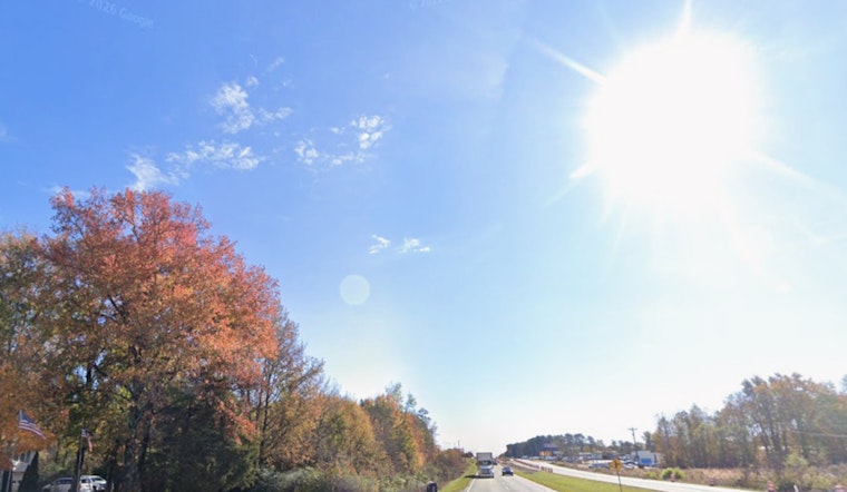
Charlotte woke up to a crisp Thursday morning, with temperatures dipping into the upper 30s and patchy frost possible in low-lying spots. A Frost Advisory is in effect through 9 AM EDT today, which means tender outdoor plants and newly planted seedlings are on the line if they are left uncovered.
Morning Chill, Afternoon Sun
The frosty start will not stick around for long. Skies are expected to clear quickly, bringing mostly sunny conditions and a high near 68°F this afternoon, with a light northeast breeze around 5 to 6 mph. Morning readings in the low 40s should climb into the mid-60s by midday and reach the upper 60s by late afternoon. For a full hour-by-hour breakdown, check the forecast from the National Weather Service office in Greenville‑Spartanburg.
Weekend Heat-Up And Fire Concerns
The cool snap will give way to a quick warm-up. Temperatures climb through the weekend, with highs in the low to mid 80s by Saturday and Sunday, and a potential peak near 90°F by next Wednesday. Afternoon relative humidity is expected to dip into the mid-20s at times, which raises fire danger across parts of the region. Local agencies have already been busy issuing Red Flag notices and burn cautions. For burn rules and forestry updates, monitor the South Carolina Forestry Commission.
What You Should Do
Cover tender plants or bring potted ones indoors before the early-morning chill, and use a lightweight sheet or frost cloth for protection. Avoid open burning unless you have explicit local permission, since low humidity and even light winds can help small fires spread quickly. Updates will follow if advisories change, and residents can confirm watches and warnings through the National Weather Service.


