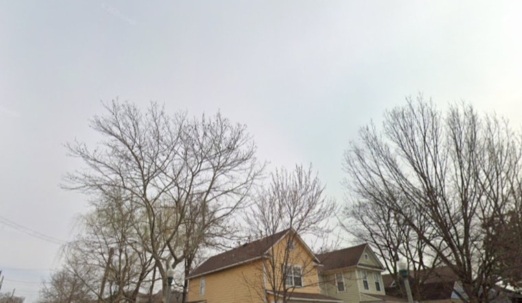
Washington, D.C. is waking up under a gray lid Sunday, April 26, 2026, with a chill that cuts a little deeper than the thermometer suggests. Reagan National logged about 47°F at 5:40 a.m. ET, with spotty drizzle expected before 8 a.m. Northeasterly winds around 9 to 13 mph, with gusts up to 18 to 20 mph, will keep the morning feeling raw for anyone headed out early.
Morning Commute And Today
The patchy drizzle should ease by mid-morning, but low clouds are likely to hang tough through the afternoon. Expect mostly cloudy skies and a high near 58°F. Winds stay out of the northeast near 9 to 13 mph with gusts around 18 mph, and new rainfall totals should stay under a tenth of an inch. That is just enough to make bridge decks and ramps slick, so leave extra room to brake and skip the last-second lane changes on your way in.
Marine And Tides
Out on the water, it is not a great day for the small-boat crowd. Small Craft Advisories are up for local tidal waters through about 6 p.m. EDT, with gusts up to 20 to 25 knots and choppy conditions that could toss around smaller vessels. Mariners should secure loose gear and delay departures if they can, according to the National Weather Service.
Persistent onshore flow has also nudged tide levels higher this weekend. Some locations, including Annapolis and Dahlgren, may reach Action Stage, with a few other sites running close behind. Similar small-craft headaches showed up in a chilly D.C. wake-up earlier this month, so it is a good day to double check marina advisories before you cast off.
Late Week Storm Chances
Skies brighten on Monday, when sunshine returns and highs climb to around 69°F. After that, keep the umbrella handy again. Rain chances ramp up Tuesday and stick around through Wednesday. Wednesday holds the best odds for showers and thunderstorms, and a few storms could bring lightning and gusty winds, even though a broad, regionwide severe outbreak is not on the table. If you have midweek outdoor plans, line up a backup indoor option and keep an eye on updated forecasts.
What To Pack
For now, plan on a light rain jacket and an umbrella for the commute through Wednesday. From Thursday through Saturday, conditions trend cooler and drier, with highs in the upper 50s to low 60s. Drivers should ease off the gas on wet pavement, and boaters should stay plugged into the latest marine forecasts before heading out.


