Mostly cloudy and muggy conditions greeted early risers at Daniel K. Inouye International Airport on Tuesday, with temperatures hovering near 69°F. A few scattered showers are possible through the day, but forecasters say the real action holds off until midweek. Highs on Tuesday should land near 81°F, with light southeast winds around 6–10 mph.
The National Weather Service has a Flood Watch posted for all Hawaiian islands from Wednesday morning through Friday afternoon, warning that flash flooding is possible and that “significant flooding may occur” in low-lying and urban areas. According to NWS Honolulu, some storms could drop heavy downpours, with new rainfall totals of 1–3 inches possible and localized higher amounts in the strongest cells.
On Oʻahu, the heaviest rain is most likely from Wednesday night into Thursday, and soils are still saturated from the March flooding, so even moderate rainfall could lead to quick runoff and sudden street closures. City recovery pages are urging residents to clear drains, move valuables out of basements and other low areas, and stay ready to head for higher ground if water starts rising. For detailed preparation tips and local resource locations, see the City and County of Honolulu recovery page and our earlier report on how a midweek rainmaker threatens flood trouble.
Afternoon Commutes And Events
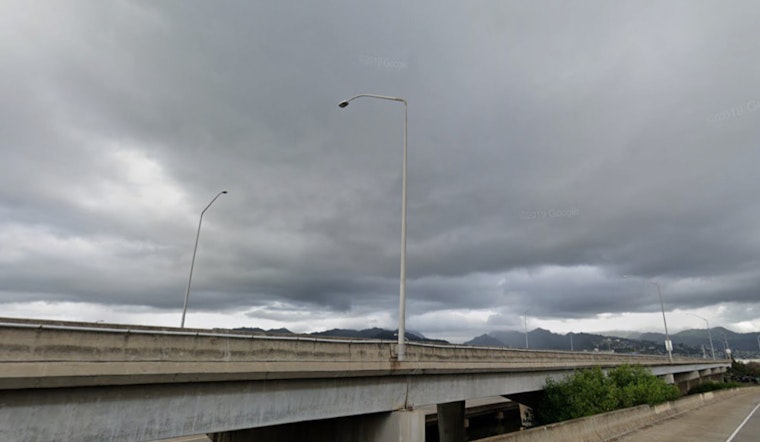
Drivers should be ready for slower commutes and possible road closures from ponding water or high runoff from Wednesday through Friday. Avoid driving through standing water, plan for extra travel time, and consider shifting outdoor events or beach plans to earlier in the week while conditions are still relatively dry.
Surf And Marine Conditions
Overlapping north and south swells combined with strengthening southerly winds will mean increasingly choppy seas, and some shorelines could approach advisory levels by Wednesday. Mariners and beachgoers should use extra caution. NWS Honolulu notes that small craft advisories and surf alerts may be issued as the system intensifies.
Keep phones charged, keep an eye on local forecasts and briefings, and follow guidance from emergency officials if any watches are upgraded to warnings. This story will be updated if new watches, warnings, or city notices are issued.


