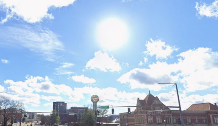
Knoxville is starting off crisp and comfortable this Saturday morning, with the downtown station checking in around 55°F, but that cool feel will not last long. Temperatures are expected to race up to about 86°F this afternoon as winds increase, with gusts up to 25 mph. A line of showers and thunderstorms is forecast to push in late this evening, with the main action between roughly 7 p.m. and midnight (Saturday, April 18, 2026).
Evening Thunder Threat
A band of storms is projected to roll through this evening and continue into the overnight hours, with the greatest coverage after 7 p.m. Some of these storms could be strong to marginally severe, capable of producing damaging wind gusts and small hail, especially along and north of Interstate 40 (I-40), according to NWS Morristown. New rainfall totals of about a quarter to a half inch are on the table, and any heavier downpours could briefly knock down visibility on area roads.
Afternoon Winds Pick Up
Winds will ramp up this afternoon ahead of the approaching front, then turn to the northwest once the storms move through, with gusts up to 25 mph possible. That makes tonight a bad bet for leaving patio chairs, pop-up tents, and other light gear unsecured; bring them in or tie them down before the gusts arrive. Drivers should be ready for gusty crosswinds during the evening commute and sudden drops in visibility where the rain briefly pours.
Sunday Cooler And Drier
Sunday, April 19, 2026, will flip the script, turning cooler and much drier, with highs near 65°F and north winds around 5–10 mph. Humidity will fall into the 20s in many spots, and Sunday night lows will dip into the low 40s, with some sheltered valleys and higher ridges briefly slipping into the 30s. Monday is expected to be sunny and seasonable, though forecasters caution that Monday night could turn cold enough for frost in a few isolated locations, so gardeners may want to shield any tender plants.
What To Do Tonight
If you were banking on outdoor plans this evening, consider moving them inside or pushing them to another day, and secure lightweight outdoor items before the wind really kicks up. On the roads, ease off the gas in heavy rain, give extra room to high-profile vehicles that catch the wind, and steer clear of standing water. Report downed power lines or life-threatening damage to 911, and keep a battery-powered radio or a charged phone nearby for updates if the lights go out.
More Info
For live updates and radar, head to NWS Morristown. For context on the warm spell mentioned earlier this week, check out our April 13 sizzling week preview.


