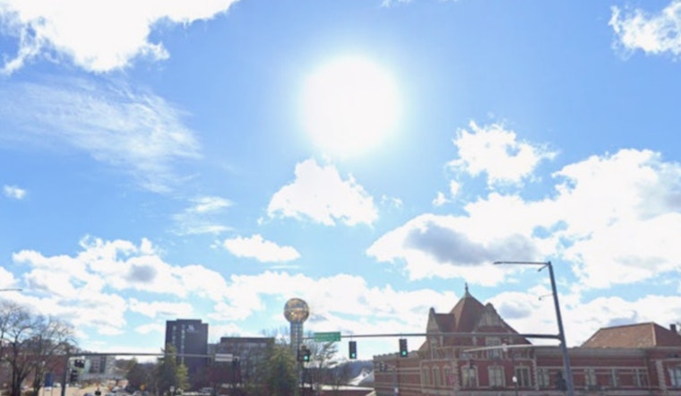
Knoxville started the day cool and clear, but the break from the heat will not last long. Temperatures are set to rocket into the mid 80s this afternoon, with very warm, dry air and gusty southwest winds stoking fresh wildfire concerns across the valley.
Afternoon Heat and Gusty Winds
According to the National Weather Service Morristown, the high should land near 86°F this afternoon. Southwest winds will run around 0 to 10 mph, with occasional gusts up to 20 mph. Humidity is expected to drop into the mid 20s to mid 30s, a combo that ramps up fire danger and makes hard outdoor work riskier during the hottest part of the day.
Thursday Night and Weekend Rain Chances
A weak disturbance brings only a slight chance of showers Thursday afternoon, around 20 percent. The odds tick up to roughly 40 percent for showers and a few storms Thursday night. Forecasters say Thursday's rain will likely be light and offer little real help for the worsening drought. The better shot at measurable rain arrives Saturday night into Sunday, although both timing and rainfall amounts are still uncertain.
Fire Weather and Legal Notes
Low humidity paired with gusty winds this afternoon raises the risk of brush and grass fires, so it is a good day to skip any open burning while the breezes stay up and to watch yard debris piles closely. For rules on burn permits and information on when permits might be temporarily paused, check the Tennessee Division of Forestry.
Plan Ahead
If you are planning to be outside, aim for the cooler morning hours, tie down tents and lightweight furniture, and keep plenty of water handy for both people and pets once the afternoon heat kicks in. Before you head out, take a quick look at the latest hourly forecast and any local fire restrictions, since conditions can change in a hurry and agencies will post updates as needed.


