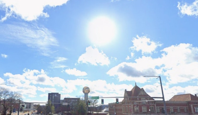
Knoxville steps out under clear skies this Wednesday morning, April 22, with temperatures sitting in the mid 60s. This afternoon turns unseasonably warm and sunny, with a high near 82°F on tap. Southwest winds will stay mostly in the 5 to 10 mph range, but could gust up to around 20 mph later in the day. Tonight trends mostly clear and cooler, with lows dropping into the low 50s.
Afternoon Winds Pick Up
Those southwest breezes will get a little frisky this afternoon, with gusts near 20 mph. At the same time, relative humidity is expected to fall into the 20 to 30 percent range, which bumps up local fire weather concerns. There are no active watches or warnings for the region at the moment, according to the National Weather Service Morristown. If you are working or relaxing outside, secure loose items and skip any open burning.
Weekend Timing
Rain chances start to creep up later in the week. A few showers are possible Friday night, April 24, with the best shot at widespread showers and thunderstorms arriving Saturday, April 25. That trend was outlined in our recent update, so check the April 20 outlook for background. If you have outdoor plans for Saturday, it is smart to pencil in a backup or find a covered spot.
Looking Ahead
Forecasts still show Saturday, April 25, as the wettest day of this stretch, with highs near 76°F and about an 80% chance of showers and thunderstorms, followed by a drier Sunday. Another round is possible Monday and Tuesday, April 27 and 28, and the National Weather Service says the setup could be strong enough to support some stronger storms early next week. Keep tabs on the forecast if you have travel or outdoor events lined up for the start of the week.
Plan And Safety
Today is a green light for errands, yardwork, and outdoor events that can handle a little breeze and dry air. Just avoid open burning and be cautious with yard debris because of the low humidity. For the weekend, build a rain plan into anything scheduled for Saturday and watch for any watches or warnings that may be issued as the system takes shape. Keep an eye on the NWS forecast and local updates through the weekend in case the timing shifts.


