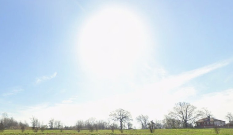
Memphis woke up to bright blue skies on Saturday, April 11, 2026, with morning temperatures in the low 60s and a fast warm-up already underway. By this afternoon, highs are expected to land in the mid 80s under mostly sunny skies, a setup tailor-made for patios, errands and pickup games at the park.
Gusty Sunday And Fire Concerns
Sunday keeps the warmth going with a high near 85°F, but the wind starts to steal the show. South breezes are forecast to run around 5 to 15 mph, with gusts that could punch up to 30 mph by afternoon and evening. At the same time, minimum relative humidity is expected to dip into the low 30 percent range, which creates an elevated fire danger across the Mid-South and makes open burning a bad idea. A slight chance of showers and thunderstorms creeps in Sunday night into early Monday, although any storms that do pop up should be brief and spotty. These details come from the National Weather Service in Memphis, according to NWS Memphis.
Week Ahead: Warming Trend And Spotty Storms
The heat only builds from there. Temperatures climb through the work week, with upper 80s likely by midweek and near-record readings possible by Friday. Chances for showers and thunderstorms increase Monday through Thursday, mainly for areas north of I-40, although most days still look hot and mostly dry. Hoodline flagged this warm-up earlier in the week in an April 6 update; see more background as sunny spring heat rolls in.
What To Know And Do
Today and much of Sunday are fair game for outdoor plans, but it is smart to secure loose lawn furniture and skip any open burning while humidity stays low. If you have evening plans Sunday or Monday, keep a weather app close. Any storms that manage to form should be short-lived, yet they could bring quick bursts of heavy rain, lightning and some gusty winds.


