Philadelphia woke up Tuesday morning, April 28, on the cool and quiet side, with mostly clear skies and temperatures in the mid 40s at Philadelphia International Airport. By this afternoon, the city climbs into the upper 60s under partly to mostly sunny skies, setting up one of the driest days of the week. Enjoy it while it lasts, because a wetter system moves in late Wednesday, April 29, with most of this week’s rain expected to fall overnight into early Thursday, April 30.
Tuesday Snapshot
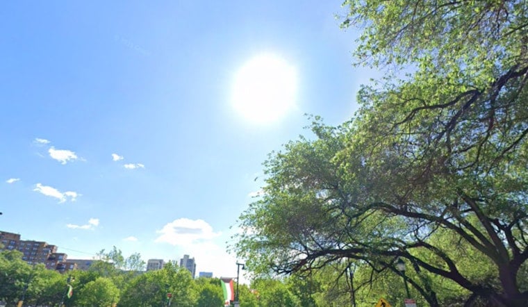
Today is the kind of spring day you actually want: partly sunny, a high near 68°F, and light south winds running about 0 to 10 mph. Morning temperatures sit in the mid 40s with comfortable humidity, so the commute should be smooth and dry, according to the National Weather Service Mount Holly.
Late Wednesday Rain And Boating Advisory
On Wednesday, things start to turn soggy. Showers build in from west to east late in the afternoon, with the heaviest and most persistent rain arriving Wednesday night and lingering into the early hours of Thursday. The latest forecast discussion calls for roughly 0.5 to 1.0 inches of total rainfall across the region, with locally higher amounts possible and a low chance of a few brief, low topped thunderstorms. Forecasters also flag a Small Craft Advisory for offshore waters through Tuesday evening, since seas near 5 feet could make crossings uncomfortably choppy, according to the National Weather Service Mount Holly forecast discussion.
How To Plan
If you are heading out Wednesday night, build in some extra travel time and do not skip the umbrella. The wettest stretch still looks to be late Wednesday night into early Thursday morning. This update builds on our previous April 27 outlook, so check out the spring roller coaster forecast for background and earlier timing.


