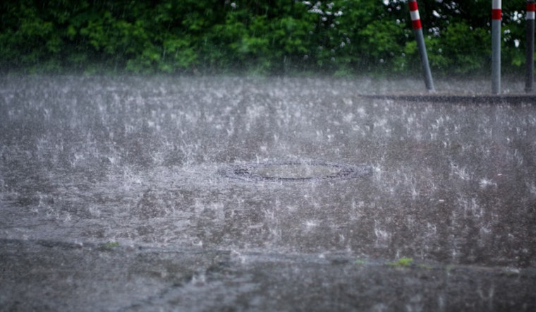
Seattle woke up on the gray and chilly side this morning, with temperatures hovering near 50°F and streets still damp from hit-or-miss showers. At Boeing Field (KBFI), instruments picked up a stout southerly wind around 37 mph with gusts near 62 mph, even as most neighborhoods felt noticeably lighter breezes. Light rain hangs around through Monday, but the real pattern shift shows up Tuesday into Wednesday with steadier rain, stronger gusts and heavy Cascade snow on the way.
Today
Monday stays mostly cloudy with the chance of light rain and a high close to 53°F. Look for south-southwest winds around 8 mph through the afternoon. Any showers that do move through should keep rain totals under a tenth of an inch in most of the city. Roads will be wet for the evening commute, so plan for a little extra braking room and grab a rain jacket if you are heading out.
Tuesday–Wednesday: Rain, Wind And Mountain Snow
Steadier rain moves in Tuesday, with south winds picking up to about 10–17 mph and gusts that could reach 25–30 mph. Many spots may see a quarter to a half inch of new rainfall. Wednesday trends cooler as snow levels drop and the chance of showers and a few isolated afternoon thunderstorms increases. The Cascades could see heavy, travel-snarling snow. The National Weather Service has posted a Winter Storm Watch for Cascade zones from Tuesday into Wednesday and is urging travelers to keep close tabs on updated forecasts and pass reports.
Mountains And Travel
Snow levels are projected near 3,500–5,000 feet early Tuesday, then dropping toward roughly 1,500 feet on Wednesday. That dip could briefly pull Snoqualmie, Stevens and other passes into the snow zone. If you have to cross the passes, be ready for chain or traction-device requirements and possible closures; check WSDOT TripCheck before you go and think hard about delaying any trip that is not essential. Down in the lowlands, roads should stay rain-only, although foothill neighborhoods and higher local streets can still get slick.
Boats And Commuters
Small craft advisories remain up for parts of the Strait of Juan de Fuca into Tuesday morning, with more advisories slated for offshore coastal waters starting Tuesday. Seas will build from roughly 6–8 feet today to around 9–12 feet by Tuesday afternoon. Ferry riders should brace for bumpy crossings and the possibility of delays when gusts peak, and mariners are better off avoiding exposed waters while conditions are at their worst. Transit users may want to pad their schedules on the wet, windy days and give both ferries and buses some grace on arrival times.
How To Prepare
Now is the time to pull out the rain gear, tie down patio furniture and add a little extra cushion to your midweek commute as the steadier rain and gustier winds arrive. If you were planning a quick escape to the Cascades, try to move that trip earlier or hold off until the pattern settles. Overnight lows dipping into the 30s could also bring frost back to some low-lying spots by Thursday morning. For context on how this pattern has been evolving, revisit our April 11 update.


