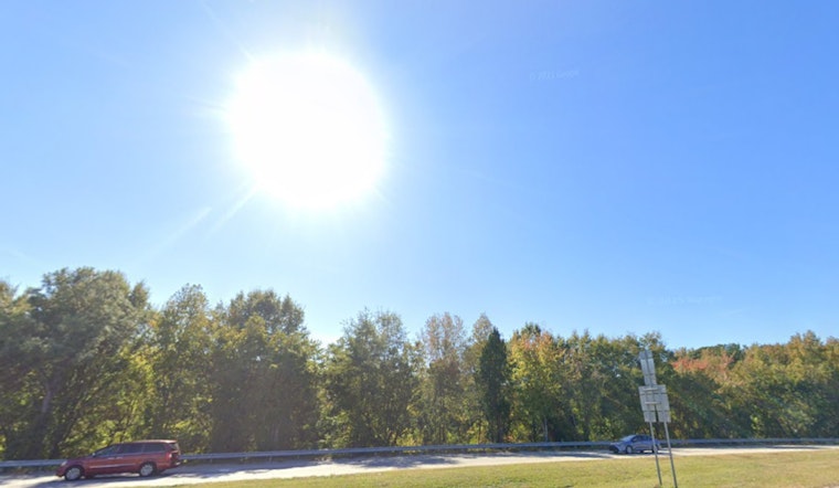
Raleigh woke up to clear skies and a mild 57°F at Raleigh-Durham International Airport this morning, but the comfortable start is not sticking around for long. Temperatures will climb fast, with a high near 82°F today on a light southeast breeze, then a steady march into the mid-80s Monday and the upper 80s and low 90s by midweek. The combo of dry air and building heat is keeping wildfire worries high across central North Carolina.
Afternoon Heat And The Week Ahead
Sunday afternoon readings are expected to land in the low 80s, with southeast winds around 6 to 9 mph and some gusty moments. Tonight, temperatures should fall to around 60°F, with gusts that could reach roughly 20 to 22 mph.
Monday nudges a bit warmer with highs around 84°F, Tuesday looks to reach near 88°F, and Wednesday through Friday are projected to hit the low 90s. By Saturday, forecasts suggest the mid-90s are in play. Rain chances stay very slim through this stretch, so this is shaping up as a sustained warm spell rather than a one-day heat spike. For the full breakdown, see the National Weather Service.
Burn Ban And Fire Risk
Afternoon dewpoints will stay on the dry side and relative humidity is expected to dip into the mid-20s, leaving grasses, leaves and brush extremely receptive to any spark. That keeps fire danger elevated across the region through the week.
A statewide ban on open burning remains in effect. When the order began late on March 28, the N.C. Forest Service canceled nearly 18,000 online burn permits. The ban stays in place until conditions improve. With little meaningful rain in the forecast this week, officials say the restriction is still necessary until vegetation moisture can recover. More details are available from the N.C. Department of Agriculture & Consumer Services.
How To Plan
If you were thinking about burning yard debris, setting off fireworks, or doing any other open-flame activity, it is time to hit pause. Skip campfires, keep grills off dry grass, and be extra careful with anything that throws sparks.
For outdoor plans in the heat, aim heavy yard work, exercise and other strenuous activities for early morning or late evening. Bring plenty of water, and check on older adults, children and pets during the hottest part of the day. With a multi-day stretch of hot, dry weather setting up, it is smart to monitor forecasts and advisories before heading out.
Bottom Line
Expect sunny, dry and increasingly hot conditions through Saturday, with temperatures peaking in the 90s by mid to late week and fire danger staying elevated. Before burning or planning long outdoor activities, check the latest updates from the National Weather Service and the N.C. Department of Agriculture.


