Saturday, April 4 — Raleigh woke up to mild, muggy air in the low to mid 60s this morning, and bright skies should push afternoon temperatures into the low 80s. Southwest winds of 3 to 10 mph will keep things breezy without being blustery, with a high near 84°F expected this afternoon. Enjoy the sunshine while you can, because wetter weather is waiting in the wings for Sunday.
Afternoon Outlook
Mostly sunny skies should dominate through the afternoon, with readings climbing from the 60s this morning into the low 80s by mid to late afternoon. Light southwest winds will keep the humidity noticeable but not punishing, making it a solid day for knocking out errands, getting in a walk, or grabbing lunch outside.
Storms Sunday
A cold front is set to move through on Sunday, April 5, bringing pre-frontal showers in the morning and a better chance of scattered showers and thunderstorms after about 8 a.m. The National Weather Service says the main concerns are brief heavy downpours and isolated strong wind gusts, especially across the eastern Piedmont and Coastal Plain. Localized rainfall of a quarter to a half inch and gusts into the low 20s are possible.
Weekend Plans And Commute
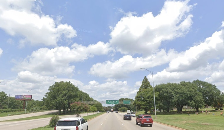
If your weekend plans involve being outside on Sunday, it is worth shifting them to Saturday morning or lining up a covered backup spot. The window for heavier rain is relatively narrow but could still slow down the mid-day drive. Wet roads and hit-or-miss downpours are most likely from late morning into the afternoon, so an umbrella and a little extra travel time on I-40 and I-440 are smart insurance. For more background on the pattern driving this stretch of warmth, see how Raleigh sizzles in springlike surge.
Cool Spell Midweek
Behind the front, a much cooler airmass settles in for early to midweek, with highs dropping back into the 60s and the coldest lows expected Wednesday, April 8, and Thursday, April 9. Forecasters note that the coolest spots, generally north of US 64 and in more sheltered rural hollows, could slip into the low 30s or even a bit lower. That raises the risk of frost or a brief freeze in vulnerable areas, according to the National Weather Service. Gardeners will want to protect tender plants and pay attention to any overnight outdoor plans.
Fire Weather
There is also a chance of elevated fire danger from Tuesday through Thursday as drier air and a tighter pressure gradient may combine to bring afternoon wind gusts around 20 to 25 mph along with low humidity. Avoid open burning on those afternoons and check in with your local fire department before trying any controlled outdoor burns.


