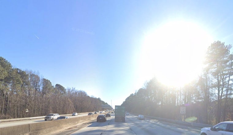
Atlanta woke up early Friday to clear but hazy skies, a smoky veil hanging over the city while temperatures hovered in the low 60s. That haze is smoke drifting north from wildfires in south Georgia and northern Florida, trimming visibility in parts of the metro. The rest of the day will feel more like early summer, with a warm, breezy afternoon, highs near 84°F and southwest gusts that could top out around 20 mph.
Air Quality And Burn Ban
On Thursday, air-quality monitors and health officials tagged parts of metro Atlanta with a Code Orange alert, a heads-up that people with asthma, heart or lung disease, and older adults should dial back long stretches of outdoor activity. Code Orange haze alert coverage earlier in the week broke down the advisory and the morning smoke show. The Georgia Forestry Commission followed up on April 22 with a mandatory burn ban across 91 counties, a move that highlights both the drought and the size of the fires sending smoke north. Residents south of the metro are urged to stick closely to local restrictions set by the Georgia Forestry Commission.
Afternoon And Weekend Outlook
Plenty of sunshine is on tap for Friday, with afternoon highs near 84°F. Southwest winds should stay mostly light through the morning, then pick up to around 5–10 mph with some higher gusts later in the day. A front moves in late Friday night, bringing a chance of showers overnight and a growing coverage of showers and thunderstorms on Saturday as highs ease back into the upper 70s.
Rainfall totals from late Friday through late Saturday and into early next week could top an inch in parts of north and west metro Atlanta, which should help knock some of the smoke out of the air. Forecasters at the National Weather Service in Peachtree City caution that timing and coverage of the rain and storms will shift, so it is worth checking for updates before locking in weekend plans.
Risk For Strong Storms Next Week
The pattern turns more unsettled from late Monday into Tuesday, with a conditional risk for strong to severe storms near a lingering boundary. Forecasters are not calling for widespread severe weather at this point, but isolated damaging wind gusts and a brief tornado or two where storms cluster cannot be ruled out if instability ramps up. Anyone with outdoor plans Monday or Tuesday evening should keep an eye on watches and warnings.
What You Should Do
If you can smell smoke or are sensitive to poor air quality, stay indoors when possible, run your HVAC on recirculate if you can, and push strenuous outdoor workouts to another day. Skip open burning and check with your county fire department before firing up grills or planning any yard burns. The burn ban covers a large swath of south Georgia and is aimed squarely at cutting down on new fire starts. For the latest forecast details and air-quality readings, follow the National Weather Service and local public-health advisories before making plans.


