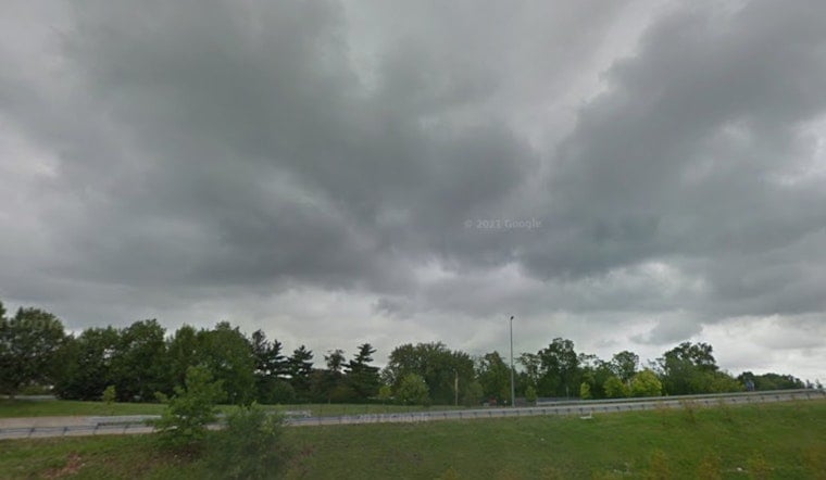
St. Louis woke Monday morning, April 27, 2026, to a soggy start, with heavy rain, low clouds and temperatures near 63°F. Patchy visibility slowed the commute and slick spots developed on area roads, so anyone heading out early needed extra time and a close eye out for standing water.
Afternoon And Evening Severe Threat
The real trouble is lining up for later. Showers and thunderstorms are likely Monday afternoon into the evening, with the most intense action expected from mid-afternoon through roughly 9 to 10 p.m. Some of these storms could turn severe and pack damaging wind gusts, large hail and a few strong tornadoes. Highs will climb into the low 80s, around 83°F, with south winds of 12 to 18 mph and gusts that may reach about 30 to 35 mph.
Locally heavy downpours may trigger brief flooding in low-lying spots, according to the National Weather Service, so street flooding and quick ponding on highways are on the table during the strongest cells.
Commute And Safety Tips
With storms expected to ramp up later in the day, now is the time to prep. Charge phones fully, secure loose outdoor furniture and move outdoor plans inside if you can. Pick out an interior room or basement as your shelter spot so you are not scrambling if a warning is issued.
On the roads, avoid driving through standing water, and remember the usual advice, “turn around, don’t drown.” Gusty winds may make travel tricky, especially for high profile vehicles, so be ready for sudden pushes and reduced visibility in heavy rain.
The City of St. Louis recommends signing up for emergency alerts and notes that its outdoor warning sirens now automatically sound for tornado warnings, according to the City of St. Louis.
What To Expect Next
Once the front finally slides through late Monday, conditions are expected to turn cooler and drier for the middle of the week. Highs should drop back into the upper 60s, with mostly sunny skies on tap by Wednesday. Keep local alerts enabled and check the National Weather Service and city channels for any watches or warnings that could affect evening events.


