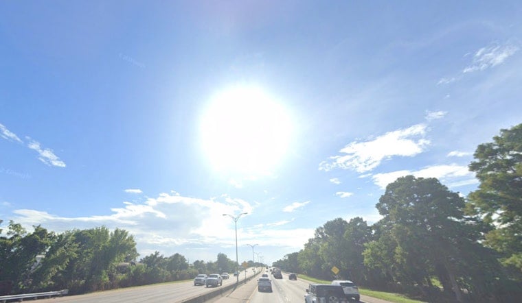
New Orleans woke up warm and sticky, with muggy air and temperatures in the low 70s (around 73°F at the KNEW station) early this morning. That soupy feel sticks around as we head into a hot afternoon, with mostly sunny skies pushing the high near 89°F and humidity sending the heat index into the lower to mid 90s. A slight chance of scattered showers or an isolated thunderstorm pops up after 3 p.m. on Wednesday, April 29, 2026, but for most of the day it will be more about the humidity than the lightning.
Afternoon Heat And Spotty Storms
Sun is the main story for much of the day, with southwest winds around 5 to 10 mph nudging temperatures into the upper 80s before gradually sliding back into the mid 80s later this afternoon and evening. According to the National Weather Service, rain chances stay low at about 20 percent after 3 p.m. A stray downpour or rumble of thunder is possible, but most evening outdoor plans should be fine as long as you have a quick indoor backup ready. No watches or warnings are in effect this morning.
Late-Week Rain And Gusty Conditions
The quiet stretch does not last. A frontal boundary is expected to stall over the region while a strong shortwave moves in from the west, and that combo will crank up rain chances Friday into Saturday. Showers and thunderstorms are likely on Friday, May 1, 2026, with widespread totals of 1 to 2 inches of rain possible from Friday afternoon through Saturday morning and the door still open for locally higher amounts.
By Saturday, conditions turn blustery behind the front, with north winds around 15 mph and gusts up to 25 mph. The upside for those tired of the muggy air: by Sunday, May 3, 2026, the atmosphere should feel noticeably cooler and drier.
Plan Ahead
Before the heavier rain arrives Friday night, it is a good idea to bring small outdoor items and lightweight furniture inside and to check radar ahead of any evening plans. Brief ponding on low-lying streets is the main concern if heavier storms repeat over the same neighborhoods.
On the water, seas should run near 3 feet until the front pushes through. After that, northerly winds and higher seas are possible from Friday night into Saturday, so boaters and other marine interests should keep an eye on the latest small-craft headlines from the National Weather Service.
If you work outside, this is the week to stay ahead of the heat: drink plenty of water, take frequent breaks in the shade, and avoid the most strenuous jobs during the hottest part of the afternoon.
We already flagged the sticky start and increasing storm risk earlier this week. For more context and tips on cooling off, check out Sticky Start, Stormy Finish. Updates will follow if any watches, warnings, or major changes to the late-week rainfall threat develop.


