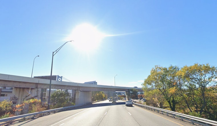
Philadelphia kicked off Monday, April 6, 2026, under clear skies and a crisp start around 45°F. Sunshine sticks around through the day with temperatures climbing to a high near 59°F, while a northwest breeze freshens through the afternoon. If you are near the rivers or out on the water, expect those gusts to put a bit more bite in the air and make it feel cooler along the shoreline.
Afternoon Winds And Rougher Rides On The Water
Northwest winds are slated to run about 10 to 15 mph this afternoon, with gusts pushing up around 20 to 25 mph in more exposed spots. Off the Atlantic coast, seas remain choppy in the wake of a recent swell, so small craft and less experienced boaters are better off staying closer to shore through this morning.
Elevated Fire Weather On Tuesday
While today does not reach Red Flag Warning territory, Tuesday is a different story. A much drier airmass is expected to move in, dropping relative humidity into the teens to 20s, with northwest wind gusts cranking up as high as 30 to 35 mph. That combination sets up an elevated risk for rapid fire spread. According to National Weather Service Mount Holly, forecasters are keeping a close watch on Tuesday and are urging residents to skip any outdoor burning and stick to local fire restrictions.
Patchy Frost Possible Midweek
Temperatures take a dip Tuesday night into Wednesday, with lows near 31°F in parts of the region and low to mid 30s elsewhere. That sets the stage for patchy frost on both Wednesday and Thursday mornings, so it is a good idea to cover tender plants and bring potted ones inside if you can. A milder pattern looks set to return by Friday, with afternoon highs expected to climb into the upper 60s by the weekend.
How The Early April Forecast Shifted
This update follows a drier turn in the pattern and a cooler start to the week that bumped aside the late-week warmth many enjoyed over the weekend. For more context, you can look back at our April 2 outlook and its gloomy Philly wake-up.


