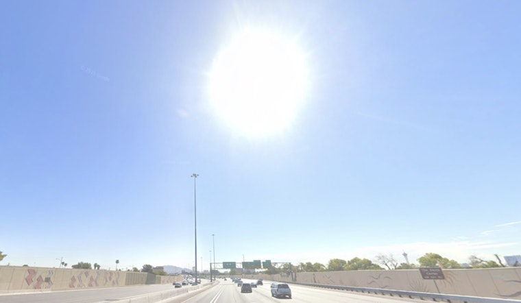
Las Vegas rolled into Saturday under clear skies and a brisk 50°F start, but the chill will not last long. A quick warm-up is on deck, with most neighborhoods expected to reach the 70s by late morning and top out near 80°F this afternoon under mostly sunny skies. Winds are light for now, though they are expected to ramp up later and shift into a breezy northeast flow across much of the valley.
Weekend Warm-Up And River Gusts
Highs are forecast near 80°F Saturday, climbing to around 88°F Sunday, and potentially reaching about 91°F by Monday as high pressure builds overhead. Along the Lower Colorado River Valley, especially between Laughlin, Bullhead City and Needles, intermittent gusts to around 30 to 35 mph are expected through the early afternoon, while valley interiors see lighter, more routine breezes. These timing and wind details are from the National Weather Service Las Vegas.
Midweek Shift
A Pacific trough is expected to move inland midweek, bringing a sharp cool-down, another round of gusty winds, and light precipitation mainly over higher terrain. Snow levels may drop from roughly 8,500 feet to near 6,500 feet, although forecasters currently expect limited precipitation totals and impacts confined primarily to mountain elevations.
What To Do
Secure loose outdoor items and use caution if you are driving high-profile vehicles or towing trailers, since gusts near the river corridor can make travel tricky. Check the National Weather Service forecast before heading out if you have afternoon plans or are traveling through the Lower Colorado River Valley.


