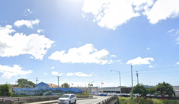
Honolulu is in for a classic trade-wind kind of day, with mostly clear skies, a high near 79°F and a steady east-northeast breeze that will make it feel cooler than the thermometer suggests. Winds are expected to run between 13 and 21 mph, with gusts up to about 29 mph, and those stray showers will continue to favor windward and mauka neighborhoods. Tonight stays on the mild side, with lows around 69°F. Anyone heading out on the water should be ready for choppy conditions and short, steep waves.
What To Expect Today
Scattered showers are in the mix through the day, with about a 20 to 30 percent chance of rain. Temperatures will top out near 79°F and dip to around 69°F overnight. East-northeast winds should hold near 13 to 21 mph, with gusts up to about 29 mph. A Small Craft Advisory is in effect through 6 AM HST Saturday, April 4, 2026, for Maalaea Bay, the Pailolo and Alenuihaha Channels and parts of the Big Island coastal waters. Forecasters say the trades should persist through the weekend before easing early next week, a shift that could open the door to wetter conditions later, according to the National Weather Service.
Marine And Commute Impacts
Small-boat operators are advised to steer clear of exposed launches and stick with more sheltered harbors while the advisory is active. East-facing shores will be on the rough side, with wind-blown spray and short, steep chop. On land, gusty trades can make it tougher to handle high-profile vehicles on exposed stretches of road, and brief downpours may cut visibility in a hurry during the commute. For more on how this trade-wind pattern has been shaping local conditions, see how clouds and quick showers whipped the morning drive.
Looking Ahead
By Monday, April 6, 2026, forecast guidance shows a trough approaching from the west that should weaken the trades and allow southeasterly to southerly flow to develop. From Tuesday night through late week, roughly Tuesday, April 7 through Thursday, April 9, rounds of moderate to heavy showers and gusty southerly winds are possible, especially on lee slopes. Localized flooding could develop in favored catchments if those showers stack up. It is worth keeping an eye on updated forecasts before locking in outdoor plans or boat trips for next week.
Bottom line: enjoy the mild temperatures and sunshine today, but take it seriously on the water and around exposed shorelines. Check the National Weather Service for the latest watches and advisories, and secure loose outdoor items if those gusts start to ramp up.


