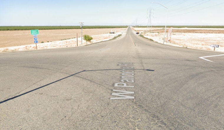
The Tumey Fire roared to life Sunday afternoon along Panoche Road west of Interstate 5 in rural Fresno County, racing through brittle grass and brush and blackening wide stretches of the Tumey and Panoche Hills. Cal Fire crews, backed by cooperating agencies, threw aircraft and ground engines at the blaze as it grew through the late afternoon and into the evening.
The California Fire Map from the San Francisco Chronicle, which refreshes its data every 10 minutes and folds in satellite hot-spot products, listed the Tumey Fire as burning in grass with a moderate rate of spread as of April 19, 2026 at 7:30 p.m. The outlet notes that evacuation zones displayed on the map pull from Cal Fire feeds, while hot spots and perimeter outlines rely on data from NOAA and the National Interagency Fire Center, with each layer updating on its own schedule.
What Officials Say And How Big It Is
According to the Sacramento Bee, the fire was first called in around 2:02 p.m. Sunday and had burned about 1,200 acres by that evening. The paper reported that more than a hundred firefighters and several air tankers were assigned to the incident. Local station KFSN/ABC30 said the Fresno County Sheriff’s Office evacuated the Tumey Gun Range and shut down Panoche Road, while Interstate 5 stayed open to traffic.
Closures, Land Rules And Local Hazards
The fire is burning on public lands in the Tumey and Panoche Hills that are managed by the Bureau of Land Management, and the BLM’s Central Coast Field Office had already put seasonal vehicle-access limits in place starting April 15 to cut down on fire danger, per the Bureau of Land Management. The agency has previously flagged target shooting as a leading source of ignitions in the Panoche and Tumey area and has repeatedly stressed springtime fire-safety rules for people recreating there.
How The Maps And Satellites Track The Blaze
The Tumey Fire’s hot-spot layer on many public maps comes from satellite products processed by NOAA’s Hazard Mapping System, where analysts identify thermal anomalies while cautioning that those detections can be relatively coarse and may trail actual conditions on the ground; details are available from NOAA's HMS. Perimeter outlines used by fire-mapping teams typically draw on the National Interagency Fire Center’s current interagency fire perimeters feed, the operational polygon dataset federal and state partners rely on for mapping and response, as described by NIFC.
Cal Fire and local law enforcement said the cause of the Tumey Fire is still under investigation, and officials urged anyone in affected areas to follow evacuation orders and local advisories. This is a developing story, and updates will follow as agencies release new information.


