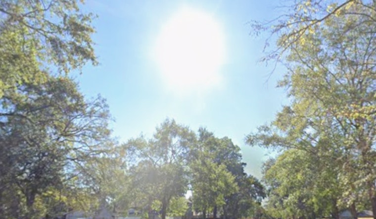
As of 5:40 a.m. Wednesday, April 1, 2026, Las Vegas started the day under clear skies with temperatures around 61°F at local observation sites. The calm, mild morning will not last. A sunny and warm afternoon is on tap with highs near 79°F, and by midday stronger winds are expected to move in. Residents should be ready for gusty periods later today that could shove patio furniture around and make the commute feel windier than the thermometer suggests.
Afternoon Gusts And Where They Matter
Wednesday’s high is expected to top out near 79°F, with southwest winds generally 8 to 17 mph and gusts up to about 24 mph in the valley. Stronger pockets are possible over the mountains and through desert corridors. The National Weather Service notes that terrain-driven and downslope gusts could spike to 35 to 50 mph in spots this week, which raises the risk of dangerous crosswinds and bouts of blowing dust. That kind of setup means Harry Reid International could see gusty crosswinds, and drivers of trucks, RVs and other high-profile vehicles should use extra caution on exposed stretches of I-15 and U.S. 95, according to the National Weather Service Las Vegas.
Dust, Lakes And Commuting
Patchy blowing dust is likely during the strongest gusts, and the lower Colorado River Valley can expect choppy, hazardous water that makes small craft unsafe. Clark County’s Division of Air Quality has issued dust advisories in recent days and asks residents to report excessive dust at 702-385-DUST. Boaters are urged to avoid small or open craft on Lake Mead and Lake Mohave while gusts are strong. During dust events, people with respiratory conditions should limit outdoor exertion and keep windows closed to cut down on exposure, according to the Clark County Division of Air Quality.
Weekend Outlook
Winds should ease into Friday, which is expected to be the coolest day this week, before temperatures climb back into the low 80s by Saturday. By early next week, readings are expected to reach the upper 80s to low 90s. The warmup will make outdoor plans feel a lot more like summer by the weekend compared with the springlike start to this stretch. Anyone with outdoor events on the calendar should keep an eye on local forecasts for changes in timing.
Plan Ahead
Secure loose patio furniture, umbrellas and tarps, slow down if you drive into areas of blowing dust, and build in some extra travel time on exposed highways. If you are heading to the lakes, check conditions before launching and consider postponing small-craft outings until winds back off. Before you go, check the latest forecasts and advisories so the weather does not catch you off guard.


