Cleveland rolled into Wednesday, May 27, with clear skies, a comfy 65°F and that classic late-spring stickiness, with humidity hovering near 75 percent. The quick warm-up is on, with most inland neighborhoods expected to climb into the low 80s this afternoon while a narrow band of spotty showers tries to sneak through the southern suburbs.
Afternoon Warmth And Spotty Showers
Highs away from the lake should top out near 80 to 82°F with a light northwest breeze, while lakeshore spots hang a bit cooler. According to NWS Cleveland, the best chance for showers lines up south of the Highway 30 and Findlay–Meadville corridor. For most city neighborhoods, that means a mix of sun and clouds and, at worst, a brief sprinkle rather than a washout.
Thursday Through The Weekend
High pressure slides in on Thursday, May 28, setting up plenty of sunshine and highs mostly in the low to mid 70s. That pleasant setup is expected to hold into early next week. Forecasters note that a dome of Canadian high pressure should keep the Great Lakes region locked into a mainly dry stretch. You can dig into the details in the NWS Cleveland discussion.
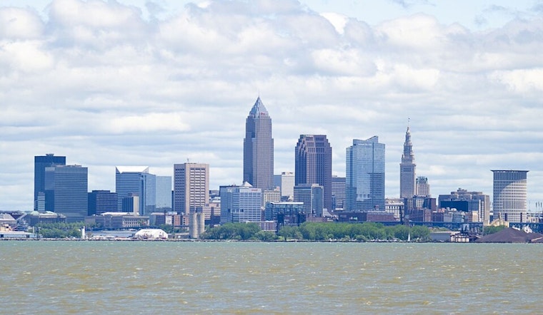
What It Means For Plans And Boaters
Outdoor plans around the city look good after the morning hours. Southern suburbs might want to keep a light rain jacket handy, just in case one of those quick-hitting showers swings through. Out on the lake, boaters can expect northerly winds around 5 to 15 mph later in the day and waves under 3 feet. Those conditions are not expected to trigger any marine advisories, according to NWS Cleveland.


