Detroit rolled out of bed to a cool, gray start today, with temperatures hovering near 48°F at the city’s official station and a steady northeast breeze reminding everyone it’s not quite summer yet. A brief shot at an early rain shower will fade, leaving mostly cloudy skies and afternoon highs around 65°F. The real action arrives later in the week, with showers and thunderstorms likely late Friday night into Saturday, which could complicate plans for the holiday weekend.
Cool And Breezy Through Friday
Temperatures will hang out in the low-to-mid 60s through Friday as northeasterly winds off Lake Huron keep Detroit cooler than recent days. Tonight stays on the breezy side with a low near 42°F and northeast winds around 12 mph, gusting to about 20 mph. Mid- and high-level clouds should help prevent widespread frost, though a few cooler inland spots could briefly slip into the 40s just before dawn Thursday.
Rain And Thunder Friday Night Into Saturday
Rain chances start ticking up Friday afternoon, with steadier, heavier rain expected after sunset Friday, continuing into Saturday. Showers and thunderstorms are likely during that stretch, and there is potential for locally heavy downpours and slow-moving storms, according to the National Weather Service. If you’ve got outdoor plans Friday night or early Saturday, build in a backup option, expect possible delays or cancellations, and keep an eye on hourly updates.
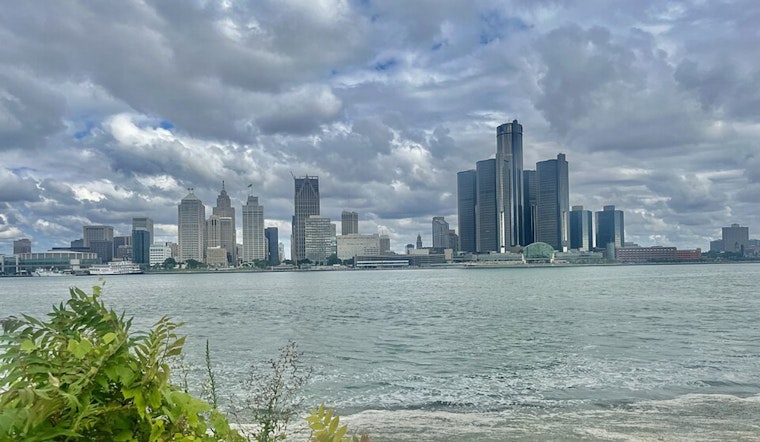
Boaters, Commuters And Outdoor Plans
Small Craft Advisories on nearshore Lake Huron and gusty winds remain the main marine concern this afternoon and evening, so boaters should steer clear of exposed waters and secure any loose gear. Gusty northeast winds today, with stronger gusts expected Friday into the weekend, can kick up rough lakes and lead to slick roads when heavier showers move through. Check out how the riverfront got whipped for local insight on windy waterfront conditions. If you’re out and about, a windproof layer and an umbrella are smart companions, and it’s worth checking conditions before heading out.
When To Check For Updates
Forecasts will sharpen as the system approaches, but the most likely window for the heaviest rain still looks to be late Friday into Saturday. Keep weather alerts enabled on your phone and consult official updates before hitting the road or the lake. Local forecasts and the National Weather Service remain the go-to sources for any changes in timing or for additional advisories as the weekend nears.


