Washington woke up on the chilly side this morning (Friday, May 1), with clear skies and temperatures sitting near 45°F at Reagan National to kick off the long weekend. The payoff comes later in the day, as mostly sunny skies help push afternoon highs to around 68°F. After sunset, readings slide back into the mid-40s, and the coldest pockets, especially west of the Blue Ridge, could again slip into the 30s.
Frost And Freeze Headlines
Freeze Warnings and Frost Advisories remain in effect through 8 a.m. Friday, May 1 for higher elevations and counties to the west, where temperatures near or below freezing could damage tender plants. Gardeners and anyone with exposed outdoor plumbing will want to protect vulnerable spots tonight. For county-level details and updates, check the latest from the National Weather Service.
What To Expect Through The Weekend
Friday, May 1 comes in as the warmest day in the short-term outlook, with sunshine and a high near 68°F, followed by a chance of light rain showers Friday night between about 8 p.m. and 1 a.m., with any totals staying under a tenth of an inch. Saturday, May 2 looks cooler and mostly cloudy, with a high near 62°F and a slight chance of showers, and the coldest night arrives Saturday night into Sunday with lows near 43°F. Sunday, May 3 brings the sun back with a high near 63°F, ahead of a more noticeable warm-up Monday and Tuesday, with highs near 75°F on Monday, May 4 and climbing into the low 80s on Tuesday, May 5, before a better chance of showers and thunderstorms by Wednesday, May 6. These timing and temperature details line up with the latest local forecast from the National Weather Service.
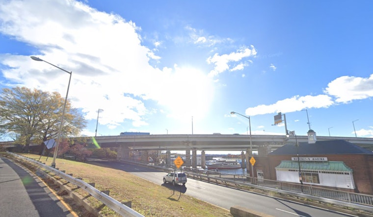
Boaters And Commuters
Small Craft Advisories stay in place into the early hours of Friday, May 1 for portions of the tidal Potomac and Chesapeake, with northwest gusts up to 25 to 30 knots in some bays, so mariners are advised to hold off on small-vessel outings until conditions ease. Another period of gusty northwest winds is possible Saturday night into Sunday, when additional marine advisories are likely. On land, road commuters can expect mostly dry conditions for the Friday afternoon drive but should watch for slick, frost-affected surfaces during the early-morning rush. See the National Weather Service for the latest marine and advisory updates.
Plants And Plans
Anyone tending a garden will want to cover tender plants and bring potted items indoors tonight if you live in low-lying or high-elevation neighborhoods, and it is wise to delay planting heat-loving annuals until after the midweek warm-up. If you are plotting outdoor time this weekend, Friday and Sunday afternoons are the better bets, with more sun on tap, and a light jacket will still come in handy for the chilly mornings. Keep an eye on updates from the National Weather Service as conditions evolve into next week.


