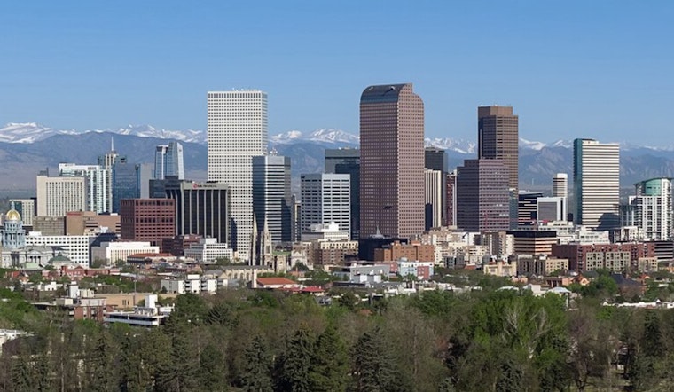
Denver woke up to clear skies Tuesday, with most stations logging temps in the upper 50s to low 60s. That calm, comfy start will not last long. Sunshine is set to push the metro into the low 80s this afternoon, and forecasters expect a climb into the upper 80s to low 90s by midweek. There is also a small chance of an isolated afternoon thunderstorm over the foothills on Wednesday.
What To Expect Today Through Wednesday
Sunny and dry conditions should dominate Tuesday, with a high near 82°F and only minimal rain chances, according to the National Weather Service. Wednesday is on track to be the hottest day of the week, with highs near 91°F and a slight chance of showers or an isolated thunderstorm, mainly after noon along the Front Range foothills.
Afternoon Gusts And Fire Weather
Winds are light this morning at metro airports, but they will shift and pick up later in the day. Local observations at KBJC show light northeast flow early, per the KBJC METAR. By afternoon, gusts could reach the 20–30 mph range near the foothills, with stronger downslope gusts off the Cheyenne Ridge potentially topping out around 30–40 mph in more exposed areas. Forecasters also caution that drier air and stronger afternoon winds could bring elevated fire weather conditions on Thursday, so skip any backyard burning plans and make sure patio furniture and other loose items are secured.
Plan Ahead
If you are heading outside, morning hours will be your best bet before the heat and gusts really kick in. Stay hydrated through this warm stretch, and check later forecasts before driving through mountain passes, as updates will be posted by local forecasters as conditions evolve.


.jpg)