Denver is starting raw this morning, with light rain and about 36°F at KBJC, a steady northeast breeze, and pockets of reduced visibility. The soggy system will track across the metro through the day and is expected to flip to rain‑and‑snow showers before turning heavier overnight. That late‑season snow is forecast to arrive Tuesday night and continue into Wednesday, May 6, setting up slick roads and some localized power issues near the foothills.
What’s Coming
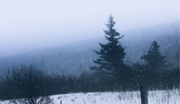
The National Weather Service has a Winter Storm Warning posted for parts of the Denver metro from Tuesday evening, May 5, through Wednesday afternoon, May 6, calling for 4–8 inches across the I‑25 corridor with locally up to 12 inches near the foothills and the Palmer Divide, NWS Denver/Boulder says. Rain is expected to spread into the region Tuesday morning, then shift to mixed rain and snow showers by midday, with steadier, heavier snow developing late Tuesday night. Areas closest to the foothills are most likely to see the higher totals and the stickier, wet snow.
Timing And Commute Impact
The Colorado Department of Transportation is urging drivers to get ahead of the storm and check road conditions at COtrip before traveling, Colorado DOT says. Forecasts call for rain before 8 a.m. Tuesday, a changeover to mixed showers in the afternoon, and steadier snowfall overnight. The heaviest rates are likely overnight and into the Wednesday morning commute, when roads, bridges, and ramps could be messy. Plan on extra travel time, slow it down on elevated surfaces, and avoid being out in the heaviest, wet snow if you can.
Risks And A Freeze Watch
Forecasters note the snow will be heavy and wet, which raises the risk of tree‑limb and power‑line damage and could lead to scattered outages. Some higher‑elevation spots may see even larger totals, the NWS forecast discussion says. A Freeze Watch is also in effect Wednesday evening into Thursday morning, May 6–7, with lows possibly dropping into the low 20s that could harm tender plants and unprotected outdoor plumbing. Utilities and public works crews may be stretched during and after the heaviest snow, so it is a good idea to secure loose outdoor items and be ready for brief outages.
Background And Where To Watch
We flagged this late‑season flip in our earlier Hoodline coverage, and this post updates watches that were in place to warnings, see our prior report for background, from sunny 70s to slushy streets. For live updates, check COtrip/511 and follow NWS Denver/Boulder for the latest warnings. We will update this story as conditions change.


