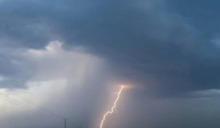
Flood worries are running high in far western North Carolina, where a flood watch is in effect for Cherokee and Clay counties through 2 p.m. EDT on Saturday, May 30, as repeated rounds of heavy rain raise the risk of sudden flash flooding. Forecasters warn that water can rise quickly in rivers, creeks, and low-lying roads, and that travel anywhere near streams or low crossings may become hazardous. Residents, campers, and anyone planning to head into the mountains should be ready to change plans fast and move to higher ground if conditions take a turn.
According to the National Weather Service in Morristown, the watch was updated at 12:02 a.m. EDT Saturday and remains in effect for Cherokee and Clay counties through 2 p.m. EDT. Forecasters there urge residents to keep an eye on later updates and be prepared to act quickly if Flash Flood Warnings are issued.
What to expect
'Flash flooding caused by excessive rainfall continues to be possible,' according to NWS Morristown. Some storms could dump rain at a rate of 1 to 3 inches per hour, and spots that get hit by repeated or prolonged downpours will be especially vulnerable to fast-moving floods.
How to stay safe
As reported by the Durham Herald-Sun, the National Weather Service advises people in flood-prone locations to move to higher ground, evacuate if ordered, and avoid walking or driving through floodwater. The paper notes that as little as 6 inches of moving water can knock a person off their feet and that roughly 12 inches of rushing water can sweep away most vehicles. If you are trapped by moving water, call 911 and get to the highest safe point you can.
Regional context
The flood watch is tied to a broader pattern of repeated heavy showers across the Southeast this week, and the Weather Prediction Center has outlined a marginal to slight risk of excessive rainfall for parts of the region that could increase flash-flood threats. Saturated ground and slow-moving storms mean even short bursts of very heavy rain could trigger rapid runoff and swollen creeks this weekend, according to the federal forecasters.
Local officials and emergency managers are expected to update watches and warnings if conditions change, so it is smart to keep phones and radios set to receive NOAA weather alerts and check the latest forecast before heading into the mountains. If you encounter a flooded roadway, remember: turn around, do not drown. Never try to drive through moving water, and call 911 if you or others are in immediate danger.


