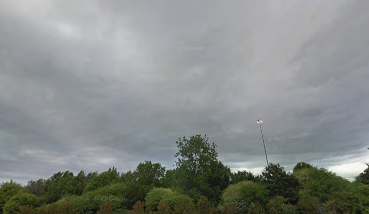
Charlotte woke up to a soggy start on Thursday, May 7, 2026, with thick clouds, areas of dense fog and temperatures sitting near 64°F. Visibility is reduced in spots, and much of the city is in for widespread showers and scattered thunderstorms through late morning and into the afternoon. Some of those storms could dump heavy rain, with localized totals of 1 to 2 inches and afternoon highs near 72°F.
What To Expect Today
Fog and steady rain are expected to linger through midmorning, with on-and-off thunderstorms possible before a second, more organized round develops this afternoon as a cold front moves across the area. Gusty winds may kick up later in the day, which can cut visibility even further and slow surface travel.
According to the National Weather Service, brief heavy downpours and localized flooding from intense, slow-moving storms are the main issues to watch.
Flooding Risk And Latest Update
The early-Thursday forecast discussion notes that the "severe threat has likely ended for the area this morning," but it flags a lingering, "highly localized" flash-flood risk where storms repeatedly track over the same neighborhoods that already picked up rain. If you live near low-lying streets, underpasses or creek-adjacent areas, avoid driving through standing water and move vehicles out of known low spots if you can.
For a look at how this system developed and the timing leading into today, check our earlier coverage on stormy skies poised to snarl Charlotte's ride home.
Outlook Through The Weekend
By Friday, surface high pressure is expected to build in, drying things out and bringing mostly sunny skies with highs back near 70°F. Rain chances creep back into the picture by Sunday and into early next week, so if you are banking on outdoor plans later in the weekend, keep an eye on the forecast.


