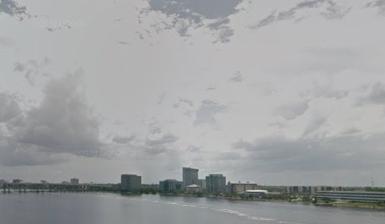
Jacksonville wakes up mostly cloudy early Sunday, May 3, 2026, with temperatures near 59°F and patchy inland fog that could make the morning commute a little dicey. Visibility may drop in spots before that fog thins out by midmorning, giving way to a bright, sunny afternoon with a high near 74°F and a northeast breeze around 8 to 13 mph. Along the coast, tonight stays milder with lows in the upper 50s to lower 60s, while inland spots are set to warm up faster as the workweek gets going.
Foggy Mornings, Sunny Afternoons
Before sunrise, expect patchy to locally dense fog across inland southeast Georgia and parts of north central Florida. It should burn off by midmorning as high pressure builds in. A dry, cooler air mass keeps Sunday quiet and comfortable, with most afternoon highs landing in the 70s and light northeast winds helping out. Forecast discussions also flag ongoing exceptional drought across much of the region, which ramps up wildfire concerns for inland areas. All of this comes from the National Weather Service in Jacksonville.
Coastal Caution: Moderate Rip Currents
Breezy onshore winds and building surf keep a higher end moderate rip current risk in place at area beaches on Sunday. Swimmers are urged to follow lifeguard instructions and skip heading out into rough surf. The surf and Saturday storms we highlighted in our May 2 dispatch are still a factor, and that elevated rip setup carries into Sunday as noted in our storms and street floods report. Boaters and small craft operators should plan for choppy seas and occasional gusts along the coast.
Midweek Heat And Thunderstorm Threat
Temperatures start to climb Monday and then jump inland to the low to mid 90s by Wednesday and Thursday. By Thursday afternoon, heat index values could flirt with 100°F. A cold front is expected to approach on Thursday, and the National Weather Service is calling for scattered to numerous showers and thunderstorms late Thursday into Thursday night, with strong to isolated severe storms possible across southeast Georgia. Forecast notes also highlight an elevated fire danger inland Tuesday through Thursday as humidity drops, so officials are advising against open burning during that stretch.
Fire Weather And Travel Tips
From Tuesday through Thursday, inland areas face an elevated fire danger as humidity falls and winds pick up. Avoid outdoor burning, keep a close eye on grills, and use extra care with power equipment that could throw sparks. On the roads, plan for reduced visibility where morning fog hangs on, along with gusty cross winds on exposed bridges and overpasses in the afternoon. Securing loose outdoor items and checking for the latest updates before heading out is a smart move.
Bottom line: Sunday, May 3, 2026, shapes up as mostly sunny and travel friendly once the fog clears. Just be ready for a sharp warm up and a late week window for thunderstorms. If you are planning beach time or outdoor events on Thursday, keep an eye on the latest updates from the National Weather Service and local lifeguard advisories before you head out.


