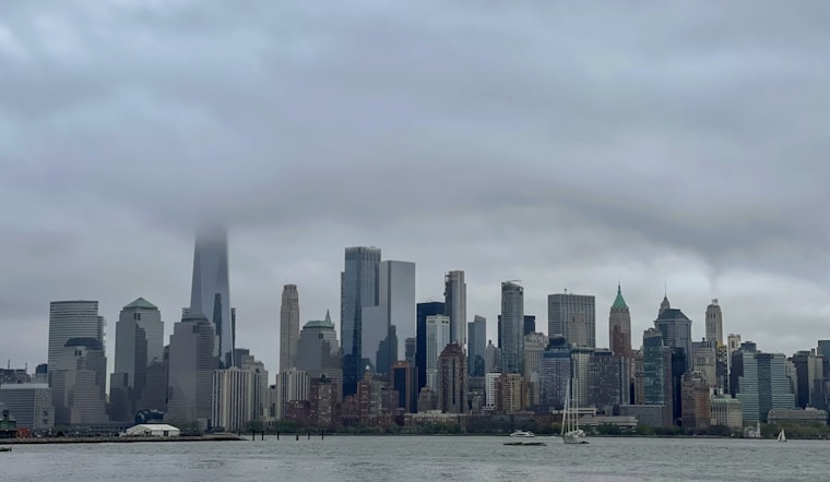
New York City is starting the week under gray skies and a stiff breeze, with Monday morning temperatures parked in the mid-50s and a persistent north wind cutting through the air. Highs this afternoon should reach the mid-60s, but gusts will hang on over bridges and along the shoreline into midmorning. Ocean waters are still choppy after overnight northerly gusts, and small craft advisories remain in effect along the Atlantic coast. A light jacket will not be overkill for the morning commute, though a few peeks of sun are expected by later in the day.
This Morning And Monday
A cold front slipped through overnight, leaving behind a northwest flow and blustery conditions in exposed spots. Winds are forecast around 6–13 mph, with occasional gusts to 15–18 mph. Most of the city should stay dry, with only a slight chance of a stray shower late in the day east of town or over coastal neighborhoods. Ferry riders and drivers on exposed sections of bridges may still notice some spray and cross-winds into the morning.
Midweek Showers And Thunderstorms
Rain chances ramp up late Wednesday into Thursday as a coastal secondary low develops and brings the highest odds for steady rain and a few thunderstorms. According to the National Weather Service, the prime window for heavier precipitation is late Wednesday into Thursday morning, with new rainfall amounts generally around two-thirds to one inch and locally higher totals across southeast Connecticut and Long Island. That timing points to a wet late-Wednesday commute and lingering showers spilling into Thursday.
Commute And Weekend Outlook
Tuesday is expected to be mostly sunny and a bit warmer, with highs climbing into the upper 60s before the unsettled stretch arrives midweek. The pattern then flips warm and dry for the weekend, with highs near 79°F on Saturday and the low 80s possible on Sunday, a much better setup for outdoor plans. We covered the earlier setup in our look at clouds and quick showers, but the timing and potential for heavier Wednesday to Thursday rain are still worth watching through midweek.


