A new Texas A&M analysis published this month suggests that big cities, especially Houston, can tweak how some thunderstorms behave, sometimes turning slow-moving, flash-flood-producing storms into stronger troublemakers. Researchers are careful to say this is influence, not magic: cities do not summon storms, but they do reshape heat, airflow and moisture in ways that can amplify intense, localized downpours.
How researchers tracked storms
The team used an event-by-event approach, following more than 40,000 warm-season storms in three dimensions across four Texas metro areas and comparing each storm’s behavior over city footprints with its behavior over nearby rural land, according to Texas A&M. That setup let them sort storms into types, including single-cell, isolated, warm- and cold-front systems and tropical-influenced events, so that any urban effect could be measured for each class separately.
Key findings: not all storms react the same
The paper in Nature reports that small, local single-cell storms show up 7–31% more often over cities and tend to grow taller and more intense. Larger isolated storms also exhibit stronger radar reflectivity over urban areas. Cold-frontal storms, however, often lose steam while crossing cities, with rainfall intensity dropping about 16–28% in some cases, and tropical systems show no consistent change in overall intensity, although their heaviest rain shifts lower in the atmosphere.
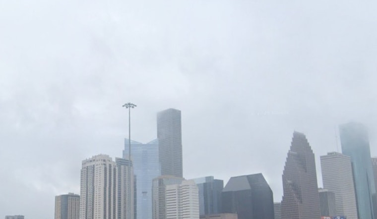
Why Houston stands out
Houston’s rapid development, sprawling pavement and flat, flood-prone terrain already leave the region vulnerable to extreme rain, and researchers say the urban boost to short, intense storms piles onto that risk, as reported by the Houston Chronicle. Local officials told a Rice University panel that updated FEMA flood maps are still in draft form and may not be fully adopted until closer to 2028 or 2030, leaving homeowners and planners to weigh new science against older map footprints in the meantime.
“Cities don’t just change the landscape, they change the weather,” said Dr. John Nielsen-Gammon, a Texas A&M co-author, adding that the practical question is which storms are affected, because that determines the risk people actually face, according to Texas A&M. The researchers say the results can help steer mitigation toward the short-duration, high-intensity events that cause most urban flash-flood damage, instead of relying only on long-term regional averages.
What planners and residents should know
Urban planners who lean on averaged rainfall statistics may miss the kind of short bursts that quickly overwhelm drains and streets, and experts argue that flood control has to account for both storm-type specifics and land-use changes, a point that already has precedent in analyses of Hurricane Harvey’s urban impacts. As Scientific American reported, models of Harvey suggested Houston’s built environment may have altered where the storm’s rain fell, a warning that city planning and flood infrastructure need to work with changing storm behavior, not chase it after the fact.
Researchers say more targeted forecasting and storm-scale modeling could give cities earlier and more precise heads-ups about where the worst rain will land, and officials stressed that the findings should feed into flood-plain updates and permit decisions as maps and models are revised, according to regional coverage by Texas Public Radio. For Houston residents, the takeaway is familiar but sharper: short, intense downpours may be more shaped by the city itself than previously thought, so local readiness, from drainage upgrades to household emergency plans, will matter even more as the metro keeps growing.


