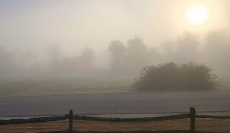
Houston woke up Friday, May 8, 2026, to a steamy mix of patchy fog and muggy air, starting the day around 66°F with dew points nearly matching the temperature and visibility knocked down in a few spots. The setup has the atmosphere primed for more clouds and scattered showers as temperatures climb into the mid to upper 70s later today.
Afternoon Showers And Storms
Showers and thunderstorms are on the table after 7 a.m. Friday, May 8, with forecasters calling for a high near 77°F and a light east breeze around 5 mph. The chance of rain sits near 40%, and any storm that pops could deliver a quick burst of heavy rain, slicing visibility and briefly overwhelming storm drains. Expect hit-or-miss wet spots around town during the afternoon drive and keep that umbrella within arm’s reach.
Weekend Rain And Flooding Risk
According to the National Weather Service Houston/Galveston, areawide rainfall totals of at least 1 to 2 inches, with locally higher amounts, are likely through the end of the day Saturday, May 9. That sets up an isolated flash-flood threat where storms repeatedly track over the same neighborhoods. The main window for the heaviest and most persistent rain runs from Friday night into Saturday, with nighttime lows hanging in the low 70s and additional pockets of roughly a quarter to a half inch of rain per localized thunderstorm.
Boaters, Roads And Plans
Thunderstorms may kick up brief gusty winds and strong downdrafts, so boaters should use caution and check marine forecasts before heading out. For more context on how we got here, background on the stalled front lays out the setup heading into the weekend. If you have outdoor plans, build in an indoor backup and keep an eye out for any local flood or road-closure alerts.
Avoid driving through standing water, and pad your travel time Friday evening and Saturday, especially near low-lying spots and underpasses. Keep phones charged, stay tuned to local advisories, and move to higher ground if water starts to rise quickly around homes or roadways.
Looking Ahead
Sunday, May 10, 2026, is expected to trend drier, with highs near 86°F as the front slips offshore and ridging begins to build over the region. A generally warmer, mostly dry pattern is anticipated early next week, but it is worth checking the forecast through the weekend in case the timing or localized flash-flood guidance shifts.


