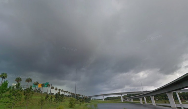
Jacksonville is getting a soggy wake-up call on Wednesday, May 13, 2026, with showers and thunderstorms likely, a high near 78°F, and thick, muggy air hanging over the city. Heavy rain bands sliding along the coast may trigger quick downpours and pockets of localized street flooding, while area beaches sit under a High rip current risk through this evening. Anyone with outdoor plans should be ready for on-and-off heavy showers from late morning into early afternoon and keep a backup indoor plan ready to go.
Rain is most likely before 11 a.m., with the best shot at thunderstorms between about 11 a.m. and 2 p.m. Many neighborhoods can expect around a half to three quarters of an inch of new rainfall. Forecasters also flag a few heavier bands this morning, with localized totals of 1–3 inches possible along the southeast Georgia coast and the I‑95 corridor north of Jacksonville, which could bring brief flooding to low‑lying streets. Winds will blow from the northeast at roughly 6–12 mph, and small craft advisories remain posted for local waters through late morning. NWS Jacksonville
Beach And Marine Hazards
All local beaches are dealing with a High rip current risk through tonight, with surf this morning running about 4–6 feet at northeast Florida beaches and 3–5 feet along the southeast Georgia coast. If you head into the water, stay close to a lifeguard stand, and if a rip current grabs you, float and call for help instead of trying to power straight back to shore. Boaters and small‑craft operators should plan on choppy seas and think twice about any nonessential trips until conditions ease later this afternoon. NWS Jacksonville
Plan Ahead For The Commute
Heavier downpours could briefly knock down visibility and make roads slick, especially during the late morning and midday storm window, so build in extra travel time if you will be driving between about 10 a.m. and 3 p.m. Umbrellas will not do much in gusty squalls, so a rain jacket is the better bet, and drivers should pull over if visibility drops too much. Conditions improve tonight as a drier front moves through, bringing lows near 66°F and ushering in noticeably less humid air for Thursday.
Looking Ahead
Thursday looks drier and sunnier with a high near 85°F, and a warmer stretch builds into the weekend with inland highs climbing into the mid‑80s to upper‑80s. After today, only isolated coastal seabreeze showers are expected, and the main storm threat should wind down by this evening.


