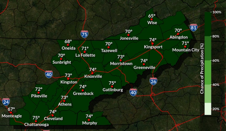
Cloudy and muggy this morning in Knoxville, with temperatures near 72°F and showers and thunderstorms likely through Wednesday, May 6, 2026. Multiple rounds of rain will push across the area today, bringing brief heavy downpours that can quickly cut visibility and leave standing water on low-lying roads. Highs will top out around 74°F as southwest winds kick up with occasional strong gusts.
What To Expect
Showers and storms are expected in several waves, most persistent between about 8 a.m. and 2 p.m., with an overall rain chance near 80 percent. The National Weather Service in Morristown is calling for new rainfall totals of roughly one half to three quarters of an inch across much of the area today, while some spots along and south of I-40 could pick up 1 to 2.5 inches where storms repeatedly track over the same locations. Tonight, another three quarters to one inch of rain is possible, which bumps up the risk of ponding on streets and brief flash flooding during the overnight hours. Build in extra travel time and skip any shortcut that takes you through standing water.
Wind Advisory And Travel Tips
A Wind Advisory is in effect for the Smoky Mountains into late morning, with ridge gusts of 45 to 50 mph possible. Gusts in the valleys and in the city should be lower but still noticeably blustery. Secure patio furniture, tarps and other lightweight yard items unless you want to chase them down the block, and use extra caution if you are driving high-profile vehicles across exposed bridges and highways. Low-lying roads south of I-40 are the most likely places to see ponding; check out our midweek rain wallop coverage for earlier background on the setup.
Severe Threat
Forecasters highlight a conditional severe-storm threat this afternoon and evening if enough surface instability can develop. Damaging straight-line winds are the main concern, with a low-end tornado risk in isolated spots. The severe threat should fade after midnight as drier air moves in from the north, but any intense storm could still knock out power for a short time and bring down a few limbs. Keep a reliable way to receive weather warnings nearby and be ready to move to an interior room away from windows if a warning is issued for your location.
Bottom Line
Expect a wet, windy Wednesday with scattered heavy downpours and spotty flooding, highs near 74°F and gusts that will rattle anything not nailed down. Charge your phone, stay tuned to updates from the National Weather Service and local officials, and steer clear of flooded stretches of road until the water backs off.


