Today is starting off sticky in Detroit, with warm, muggy air and clear skies before the atmosphere gets busy later on. Temperatures are headed for the upper 80s, and while a few scattered showers could pop by late morning, thunderstorms are likely to roll through during the afternoon and evening.
Afternoon Storm Threat
Thunderstorms are most likely between about 11 a.m. and 6 p.m. today, with the greatest coverage in the mid to late afternoon. The strongest cells could bring damaging wind, large hail, and isolated tornadoes, with gusts potentially reaching roughly 30–35 mph. These risks are highlighted by the National Weather Service Detroit.
Timing And Commute Impacts
Forecast guidance points to a slight chance of showers from 8 a.m. to 11 a.m., with coverage increasing around midday and storms becoming likely by mid to late afternoon. The heaviest activity is expected roughly between 2 p.m. and 6 p.m. Southwest winds of 12–18 mph, with gusts as high as 31 mph, will make it feel blustery, and brief heavy downpours could reduce visibility and slow the evening commute.
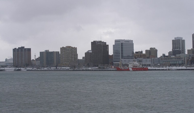
Fog And Boating Advisories
Dense marine fog is expected over parts of the Great Lakes into the afternoon, and Small Craft Advisories remain in effect for nearshore waters through about 10 p.m. Boaters should plan for patchy visibility and choppy water, delay nonessential trips if possible, and check marine forecasts before heading out.
Cooler Wednesday
A cold front will slide through tonight and sharply lower humidity, ending the severe threat and knocking highs down into the mid-60s tomorrow, with lows dipping into the low 40s overnight. The rest of the week looks quieter through Thursday, with another chance for showers and thunderstorms returning late Friday into Saturday.
Have outdoor plans? Secure loose items, bring a jacket for the post-front cool-down, and keep an eye on the sky this afternoon, as lightning and gusty winds could trigger brief outages or bring down small branches. For background on the spring storm pattern, check out our look at soaked commutes and rough nighttime storms.


