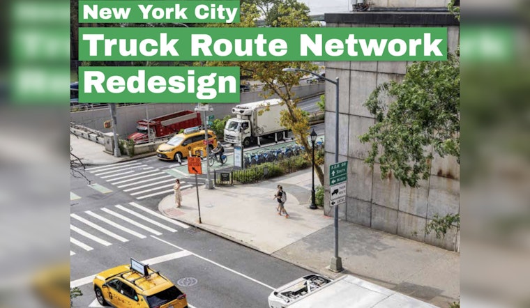
New York City transportation officials have rolled out a draft map that could redraw how trucks crisscross the five boroughs, with a big stated goal: keep heavy vehicles off narrow, residential blocks and on streets built to handle them. The plan adds dozens of miles of truck-designated streets while trimming a handful of existing segments, a net gain that DOT says will make the system safer and easier to police. Advocates and neighborhood groups are already split, with some welcoming long-awaited clarity and others warning that the map could quietly lock in truck traffic on new stretches of their communities.
What the draft map would change
The Department of Transportation's draft calls for roughly 49.02 miles of new truck routes and the removal of about 5.56 miles, a net increase of approximately 43 miles across the city. The biggest shifts are in Queens, with about 16.28 new miles, Brooklyn with 13.26 miles, and Staten Island with 14.3 miles. The Bronx and Manhattan see smaller tweaks. Roughly 21 of the new miles sit on or feed into limited-access highways, and about 43% of the additions overlap Industrial Business Zones. The redesign also includes a sweeping sign refresh, more than 600 new truck-route signs, plus other operational changes intended to make the map enforceable, according to NYC DOT.
Where the trucks would roll
The draft map leans heavily on highway-style links. It would formally designate the Nassau Expressway and JFK Expressway in Queens and add connector mileage on Farmers Boulevard near the airport. Staten Island would gain miles via the Korean War Veterans Parkway. In Brooklyn, new links would pull trucks into industrial zones, including portions of Second Avenue in Sunset Park. Manhattan sees only modest net changes. Critics told Streetsblog that the proposed map mostly tracks where trucks already go today, and they worry it could grant broad official approval to truck traffic in or near residential areas.
Timeline, hearings, and how this becomes real
The redesign stems from Local Law 171 of 2023 and is headed into the City Administrative Procedure Act rule-making process. That means a public hearing, a formal comment period, and only then any changes to the official truck map. DOT says on-the-ground work is expected to begin by September 15, 2026, and that the CAPA process will give neighborhoods a chance to weigh in on specific corridors. As outlined by NYC DOT, the agency plans to pair route changes with safety projects and updated enforcement strategies.
How DOT is selling the plan
DOT officials say the redesign is intended to boost safety while keeping freight flowing to the city’s industrial hubs. “We look forward to implementing the new design and tying it to new street redesigns that will improve safety,” agency spokesperson Vincent Barone told the New York Daily News. The agency says the map update will be bundled with new loading zones, additional signage, and targeted enforcement to better handle home deliveries.
The proposal now enters formal rule-making and community review. Whether it truly cuts truck traffic on neighborhood streets or mainly codifies current patterns will hinge on the CAPA hearings and the follow-up safety projects. The upcoming comment period and public hearings will be the moment for residents and businesses to press DOT and elected officials on how, and where, the new truck routes are actually put in place.


