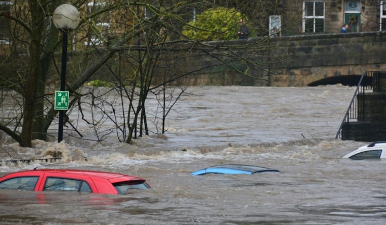
Pasco County closed out Saturday on a very soggy note, with a flood advisory stretching through the overnight hours after hours of heavy rain pounded the area. Low-lying neighborhoods, underpasses and streets that do not drain well were pegged as the most likely spots to see standing water and brief washouts.
According to the Tampa Bay Times, the advisory was expected to expire around 2 a.m. Sunday, following a stretch of steady, heavy rain overnight. Forecasters cautioned that additional bands of showers could slide through before daybreak and add to the ponding already on local roads.
Where flooding is likely
National Weather Service messaging and local alert feeds flagged communities such as Zephyrhills, Dade City and St. Leo as especially vulnerable to minor flooding. LocalConditions reproduced the NWS text noting that Doppler radar had already estimated 1–3 inches of rain in parts of the county. With that kind of rainfall, residential streets, low-lying intersections and smaller creeks can see quick rises and short-term closures.
What to do now
The National Weather Service is reminding residents not to drive through standing water, using the familiar warning, "Turn Around, Don't Drown," and to move to higher ground if water starts to enter homes. For step-by-step guidance on how to prepare and respond before, during and after flooding, visit the National Weather Service flood-safety page.
What to expect next
LocalConditions also showed a flash flood warning early Sunday for portions of southeastern Pasco that reported 3–6 inches of rain in some areas, with flash flooding described as ongoing. Officials urged drivers to steer clear of flooded roadways and asked residents to keep an eye on updates from the National Weather Service office in Ruskin and from local media for the latest advisories and any road closure information.


