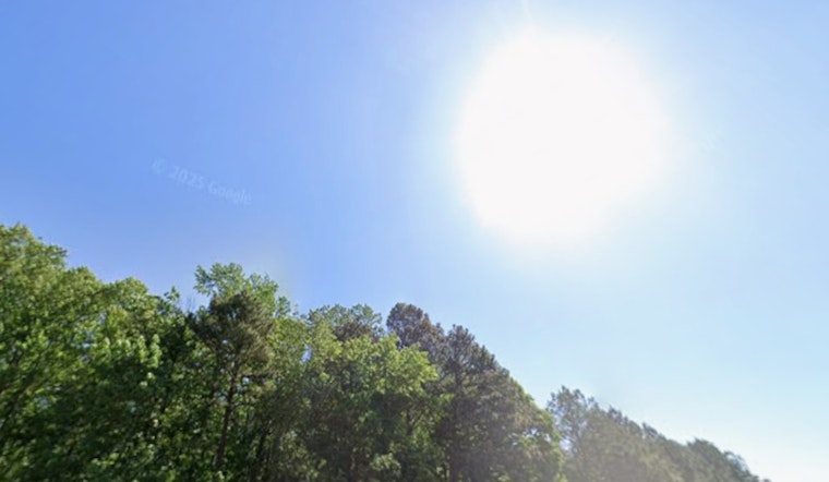
Raleigh woke up to a cool, sticky start on Sunday, May 10, 2026, with morning temperatures holding in the upper 50s and low 60s across local observing sites. By this afternoon, plenty of sunshine will flip the script and push readings into the mid 80s, with a forecast high near 86°F. A frontal system sliding in tonight will boost the odds of showers and thunderstorms on Monday, so this dry stretch is on borrowed time.
Tonight stays mostly clear with a low around 58°F and only a brief, isolated shower in play, while winds remain light and variable. Monday, May 11, turns cooler and cloudier, with rain showers possible after about 10 a.m. and a high closer to 75°F. The best shot at thunderstorms comes in the afternoon and evening along the frontal boundary. These timings and numbers come from the National Weather Service.
Timing And Impacts
Most neighborhoods should hang onto dry, comfortable conditions through Sunday afternoon, so your outdoor plans can stay on the calendar. Monday’s commute, though, may be a different story, with periods of rain and some gusty moments possible. Brief heavy downpours could slow traffic, and a few storms may turn locally strong, mainly across southern and coastal zones. If you are planning outdoor work or gatherings Monday afternoon, it is worth shifting them earlier or moving them inside and keeping an umbrella within reach.
Once the front moves through, Tuesday looks sunnier with highs in the low 70s before another disturbance brings scattered showers and a chance of thunderstorms Wednesday night. After that system exits, forecast models lean drier, with highs warming into the upper 70s Thursday and Friday and potentially back into the mid 80s by Saturday. If you have outdoor plans later in the week, keep an eye on how the forecast trends.
What To Pack And Where To Cool Off
Plan on layers: bring water and a light jacket for the cool start, and stash an umbrella for Monday’s showers. With strong sunshine this afternoon, sunscreen and a hat are not a bad idea either. If the late week warmup delivers hotter afternoons, the City of Raleigh has heat safety guidance and information on local cooling options. Check for the latest local updates before heading out on Monday or locking in outdoor plans later this week.
Forecasters will refine the details as the front pushes through. For real-time updates, follow the National Weather Service and local officials. In the meantime, enjoy the sunshine today and be ready for a cooler, wetter start to the workweek.


