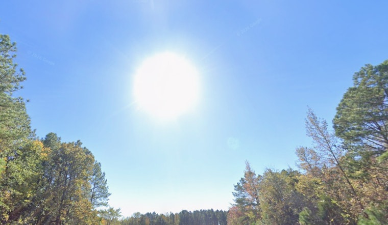
Thursday, May 21, 2026 — The Triangle started the day under mostly clear skies and muggy air, and the heat will not waste any time showing up. Highs are expected to jump into the low 90s this afternoon before showers and thunderstorms roll in late, bringing brief but heavy downpours that could cut visibility and slow the evening commute.
Afternoon Heat and Late-Day Storms
Most neighborhoods are on track to reach the low 90s with light southerly winds this afternoon and just a small chance of an isolated storm before about 5 to 6 p.m. Storm coverage should ramp up after sunset as a front slides through. The evening storms may be scattered, but they could pack a punch at times with heavy rain and gusty winds that affect travel. Forecasters at the National Weather Service in Raleigh expect storm development to line up along the front, with the greatest coverage north and east of Highway 64 and rain chances that linger into the weekend. National Weather Service, Raleigh
Heavier Rain Tonight and Flooding Risk
Showers and thunderstorms are likely tonight, and forecasters see an elevated chance for pockets of heavy rain. Some neighborhoods could pick up between a half and three quarters of an inch of new rain, with brief localized amounts higher than that inside stronger cells. With many spots still fairly dry, quick-hitting downpours could lead to rapid runoff and isolated street flooding on poorly drained roads. For more technical detail on timing and rainfall amounts, see the forecasters' discussion. NWS forecast discussion
Friday Cool Pockets From a Wedge
As the front settles, a cool northeasterly wedge is expected to nose into parts of the Piedmont on Friday. That means the northwest Piedmont could stay noticeably cooler, with highs only in the upper 60s, while the southern Triangle hangs out in the 70s. This sharp temperature contrast may stick around into Saturday across the northwest counties, setting up a very local split in how outdoor plans and events feel. For background on the developing pattern, see our earlier preview. Raleigh Roasts at 95
Plan Ahead
To ride out the heat and the storms, try to schedule strenuous outdoor activities for the morning or later in the evening, keep water handy, and check radar before heading out. The evening commute remains the prime window for travel delays from heavy downpours and standing water. If you or someone you care for needs cooling help, the City of Raleigh maintains a heat-resources page with tips and local options for relief. City of Raleigh heat resources


