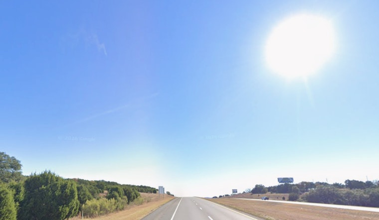
San Antonio woke up Sunday to cool, bright skies and temps near 55°F, with readings set to jump into the upper 70s to about 80°F by afternoon. Light north‑northeast breezes early in the day will flip to a softer southerly wind by midday, so it is a solid day for parks and patios, with a noticeable warm‑up locked in for later this week.
Afternoon and Monday
According to the National Weather Service, highs today should top out near 80°F under mostly sunny skies, with north‑northeast winds running around 0–5 mph. Tonight will stay mostly clear, and lows will slip back to around 60°F. By Monday, a stronger southerly flow takes over, sending afternoon highs into the mid‑80s and kicking up occasional gusts that could reach about 25 mph in a few spots.
Midweek Heat and Isolated Storms
Humidity from the south becomes more noticeable Tuesday and Tuesday night, with highs near 90°F and heat indices climbing into the upper‑90s across the Rio Grande Plains. Anyone with outdoor plans during the afternoon may want to plan for stickier conditions and take it a bit slower. A slight, low‑end chance of isolated showers or thunderstorms returns late Tuesday night into Wednesday. Any storms that do develop could bring gusty winds, although coverage is expected to stay on the sparse side.
Thursday Front And Weekend Outlook
A front sliding through on Thursday is expected to knock both humidity and temperatures down into the 70s, though breezy northeast winds could gust up to around 30 mph that day. The National Weather Service keeps rain chances modest through the end of the week, so the overall setup looks like a warm, mainly dry stretch with only a few late‑week opportunities for showers.
What This Means For You
Sunday offers favorable conditions for outdoor events, errands, and anything that benefits from sunshine. Have water and sunscreen handy as temperatures climb through the afternoon. For Tuesday evening into Wednesday, it is smart to keep a backup plan for any outdoor gatherings in case a quick, isolated storm pops up, and avoid low‑water crossings in areas that are still dealing with leftover standing water from earlier rains.


